![](/images/other/stat-length.png)
![Tour Elektrofahrrad Ostwald - VTT - Photo](https://media.geolcdn.com/t/1900/400/a3796a13-2961-4900-a516-646339a51528.jpg&format=pjpeg&maxdim=2)
VTT
26051010
Benutzer
![Länge](/images/other/stat-length.png)
Länge
101 km
![Maximale Höhe](https://static1.geolcdn.com/siteimages/upload/files/1508320355ic_sort_altitude_max_24dp.png)
Maximale Höhe
778 m
![Positive Höhendifferenz](https://static1.geolcdn.com/siteimages/upload/files/1508320355ic_sort_den_pos_24dp.png)
Positive Höhendifferenz
1389 m
![Km-Effort](/images/other/stat-length.png)
Km-Effort
120 km
![Min. Höhe](https://static1.geolcdn.com/siteimages/upload/files/1508320355ic_sort_altitude_min_24dp.png)
Min. Höhe
135 m
![Negative Höhendifferenz](https://static1.geolcdn.com/siteimages/upload/files/1508320355ic_sort_den_neg_24dp.png)
Negative Höhendifferenz
1389 m
![Boucle](https://static1.geolcdn.com/siteimages/upload/files/16400158638029165_repeat_loop_refresh_sync_direction_icon.png)
Boucle
Ja
Erstellungsdatum :
2020-09-17 08:46:56.0
Letzte Änderung :
2020-09-17 16:21:08.295
![Elektrofahrrad](https://static1.geolcdn.com/sitytour/trail-icons/205.png)
7h33
Schwierigkeit : Medium
![Scannen Sie diesen QR-Code, um die Tour in der SityTrail-Anwendung zu öffnen](https://capi.geolives.com/qq0zvz2zws4bq2lad0pu/sitytour/trails/2553996/qr.png?size=200)
Kostenlosegpshiking-Anwendung
Über SityTrail
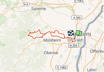
Tour Elektrofahrrad von 101 km verfügbar auf Großer Osten, Unterelsass, Ostwald. Diese Tour wird von 26051010 vorgeschlagen.
Beschreibung
Sortie vtt route chemin et piste
Ostwald Oberhaslach Nidec Ballbronn Scharrachbergheim et retour ostwald par la piste du canal.
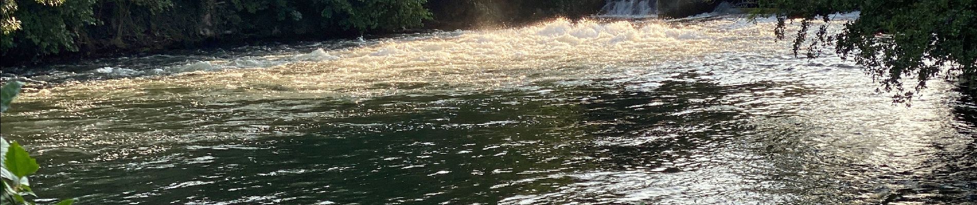
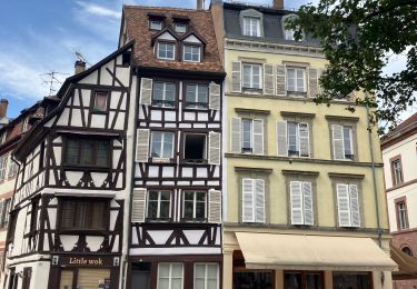
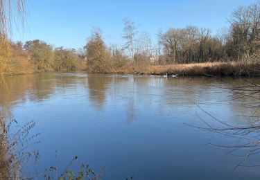
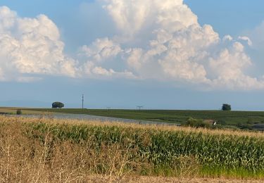
Ort
Land:
France
Region :
Großer Osten
Abteilung/Provinz :
Unterelsass
Kommune :
Ostwald
Standort:
Unknown
Gehen Sie:(Dec)
Gehen Sie:(UTM)
404795 ; 5377830 (32U) N.
Kommentare
Touren in der Umgebung
![Tour Wandern Straßburg - Strasbourg - Centre historique - Photo](https://media.geolcdn.com/t/375/260/ext.jpg?maxdim=2&url=https%3A%2F%2Fservices.sitytrail.com%2FGeolivesWS%2FDownloadMedia.ashx%3FTrailID%3D714530%26Media%3Dfix__20170315162311.jpg)
![Wandern Wandern](https://static1.geolcdn.com/sitytour/trail-icons/101.png)
Strasbourg - Centre historique
Wandern
Einfach
(3)
Straßburg,
Großer Osten,
Unterelsass,
France
![](/images/other/stat-length.png)
8 km | 9,2 km-effort
2h 11min
![](https://static1.geolcdn.com/siteimages/upload/files/16400158638029165_repeat_loop_refresh_sync_direction_icon.png)
Nein
![Tour Wandern Straßburg - Untitled - Photo](https://media.geolcdn.com/t/375/260/ext.jpg?maxdim=2&url=https%3A%2F%2Fservices.sitytrail.com%2FGeolivesWS%2FDownloadMedia.ashx%3FTrailID%3D378325%26Media%3D20150118104613.jpg)
![Wandern Wandern](https://static1.geolcdn.com/sitytour/trail-icons/101.png)
Untitled
Wandern
Sehr leicht
(1)
Straßburg,
Großer Osten,
Unterelsass,
France
![](/images/other/stat-length.png)
6,1 km | 7 km-effort
1h 42min
![](https://static1.geolcdn.com/siteimages/upload/files/16400158638029165_repeat_loop_refresh_sync_direction_icon.png)
Ja
![Tour Wandern Straßburg - Strasbourg Krutenau Université - Photo](https://media.geolcdn.com/t/375/260/8cbb56df-c20b-4a21-8b38-d84143e8ba5e.jpg&format=jpg&maxdim=2)
![Wandern Wandern](https://static1.geolcdn.com/sitytour/trail-icons/101.png)
Strasbourg Krutenau Université
Wandern
Medium
(1)
Straßburg,
Großer Osten,
Unterelsass,
France
![](/images/other/stat-length.png)
5,3 km | 6,1 km-effort
1h 23min
![](https://static1.geolcdn.com/siteimages/upload/files/16400158638029165_repeat_loop_refresh_sync_direction_icon.png)
Ja
![Tour sport Wolfisheim - 20241213 Wolfisheim - Photo](https://media.geolcdn.com/t/375/260/b82d77db-7d71-4ee9-aaab-c2a4d356d4d1.jpg&format=jpg&maxdim=2)
20241213 Wolfisheim
sport
Sehr leicht
Wolfisheim,
Großer Osten,
Unterelsass,
France
![](/images/other/stat-length.png)
7,5 km | 8,1 km-effort
Unbekannt
![](https://static1.geolcdn.com/siteimages/upload/files/16400158638029165_repeat_loop_refresh_sync_direction_icon.png)
Ja
![Tour Wandern Ostwald - Tayla - Photo](https://media.geolcdn.com/t/375/260/236e4d72-747b-45d2-ae4f-84e3c8bc8c57.jpg&format=jpg&maxdim=2)
![Wandern Wandern](https://static1.geolcdn.com/sitytour/trail-icons/101.png)
![Tour Wandern Ostwald - Lundi - Photo](https://media.geolcdn.com/t/375/260/7f259d80-50fa-422a-96ef-cd2ae8fbda1c.jpg&format=jpg&maxdim=2)
![Wandern Wandern](https://static1.geolcdn.com/sitytour/trail-icons/101.png)
Lundi
Wandern
Sehr leicht
Ostwald,
Großer Osten,
Unterelsass,
France
![](/images/other/stat-length.png)
8,4 km | 9,2 km-effort
1h 45min
![](https://static1.geolcdn.com/siteimages/upload/files/16400158638029165_repeat_loop_refresh_sync_direction_icon.png)
Ja
![Tour Elektrofahrrad Ostwald - Promenade Vosges - Photo](https://media.geolcdn.com/t/375/260/f9c256ef-dfcd-431d-8977-ca099c8aa398.jpg&format=jpg&maxdim=2)
![Elektrofahrrad Elektrofahrrad](https://static1.geolcdn.com/sitytour/trail-icons/205.png)
Promenade Vosges
Elektrofahrrad
Sehr leicht
Ostwald,
Großer Osten,
Unterelsass,
France
![](/images/other/stat-length.png)
82 km | 94 km-effort
4h 33min
![](https://static1.geolcdn.com/siteimages/upload/files/16400158638029165_repeat_loop_refresh_sync_direction_icon.png)
Ja
![Tour Elektrofahrrad Ostwald - Nideck carrefour des Pandours - Photo](https://media.geolcdn.com/t/375/260/e2ea2c89-1b62-4f65-a986-fc596c752bcf.jpg&format=jpg&maxdim=2)
![Elektrofahrrad Elektrofahrrad](https://static1.geolcdn.com/sitytour/trail-icons/205.png)
Nideck carrefour des Pandours
Elektrofahrrad
Medium
Ostwald,
Großer Osten,
Unterelsass,
France
![](/images/other/stat-length.png)
86 km | 102 km-effort
5h 10min
![](https://static1.geolcdn.com/siteimages/upload/files/16400158638029165_repeat_loop_refresh_sync_direction_icon.png)
Ja
![Tour Mountainbike Ostwald - Ostwald Etang du loup - Photo](https://media.geolcdn.com/t/375/260/b25b355f-15e8-48e3-8757-005d4424f736.jpg&format=jpg&maxdim=2)
![Mountainbike Mountainbike](https://static1.geolcdn.com/sitytour/trail-icons/202.png)
Ostwald Etang du loup
Mountainbike
Medium
Ostwald,
Großer Osten,
Unterelsass,
France
![](/images/other/stat-length.png)
78 km | 91 km-effort
4h 27min
![](https://static1.geolcdn.com/siteimages/upload/files/16400158638029165_repeat_loop_refresh_sync_direction_icon.png)
Ja