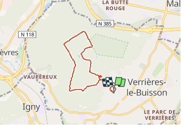

11,9 km | 14 km-effort

Benutzer


Kostenlosegpshiking-Anwendung
 SityTrail
IGN / Geografische Institute
SityTrail World
Die Welt öffnet sich für Sie
Tour Nordic Walking von 6,4 km verfügbar auf Île-de-France, Essonne, Verrières-le-Buisson. Diese Tour wird von patjobou vorgeschlagen.
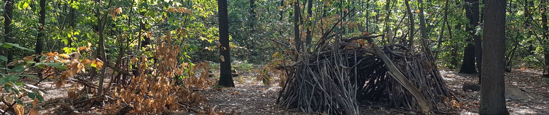
Boucle de découverte du bois de Verrières en MN. Rien à voir avec les Alpes, ici c'est plat et tout droit ! Très bien pour de la Marche Nordique. Le retour par le poney club est autorisé, il y a juste 500m de sentier a partager entre piétons, vtt et poneys.


Wandern

Wandern

Wandern

Wandern

Wandern

Wandern

Zu Fuß