


14,3 km | 28 km-effort


Benutzer


Kostenlosegpshiking-Anwendung
 SityTrail
IGN / Geografische Institute
SityTrail World
Die Welt öffnet sich für Sie
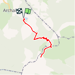
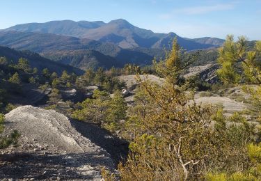
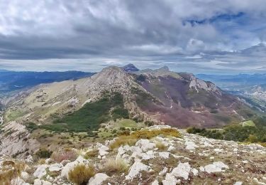
Tour Schneeschuhwandern von 8,6 km verfügbar auf Provence-Alpes-Côte d'Azur, Alpes-de-Haute-Provence, Archail. Diese Tour wird von motardes04 vorgeschlagen.
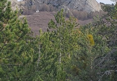
Raquettes - attn passage col prévoir crampons ; neige trop transformée sous le sommet.
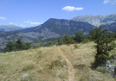
Wandern
Wandern
Wandern
Wandern
Wandern
Wandern
Wandern
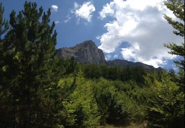
Wandern
Mountainbike