


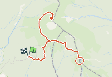

17,3 km | 37 km-effort

Benutzer GUIDE


Kostenlosegpshiking-Anwendung
 SityTrail
IGN / Geografische Institute
SityTrail World
Die Welt öffnet sich für Sie
Tour Wandern von 10 km verfügbar auf Guadeloupe, Unbekannt, Saint-Claude. Diese Tour wird von toutankhcarton vorgeschlagen.
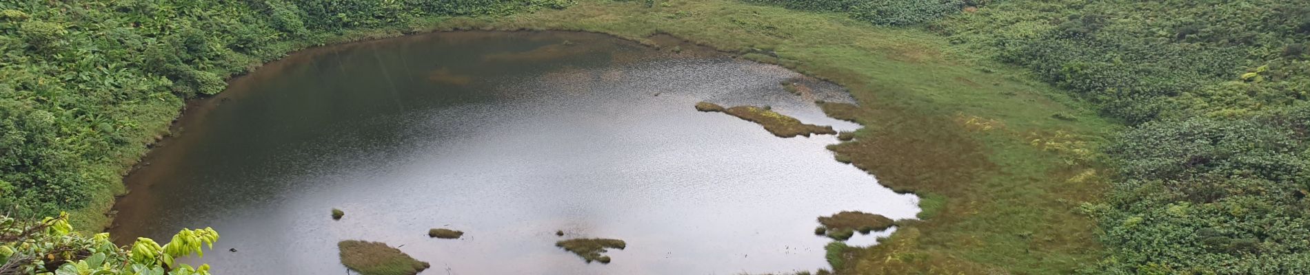
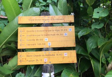
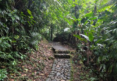
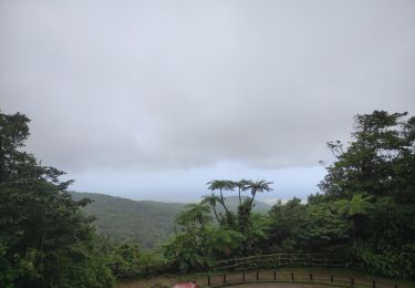
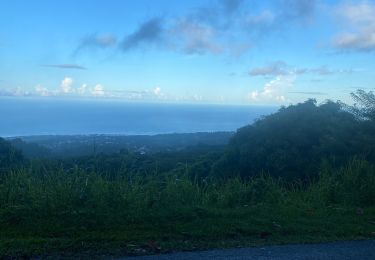
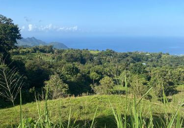
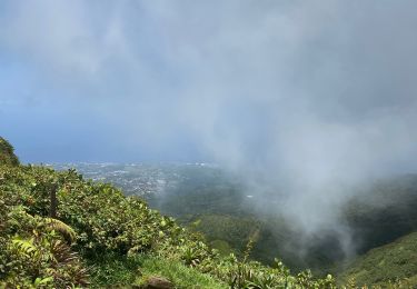
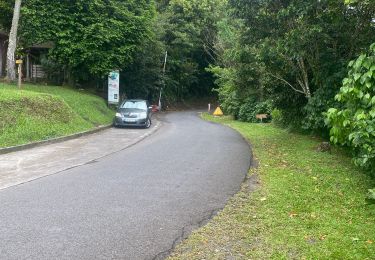
Randonnée facile depuis les Bains jaunes.
Randonnée à effectuer avec départ très matinal pour éviter les pluies à compter de midi.


Andere Aktivitäten
Wandern
Wandern

Wandern
Pfad
Pfad
Pfad
Wandern
Pfad