13,2 km | 14,5 km-effort
Lamorlaye
LEDUNC
Benutzer
Länge
27 km
Maximale Höhe
113 m
Positive Höhendifferenz
296 m
Km-Effort
31 km
Min. Höhe
33 m
Negative Höhendifferenz
299 m
Boucle
Ja
Erstellungsdatum :
2020-09-08 07:29:25.394
Letzte Änderung :
2020-09-08 20:25:26.163
6h19
Schwierigkeit : Sehr leicht
Kostenlosegpshiking-Anwendung
Über SityTrail
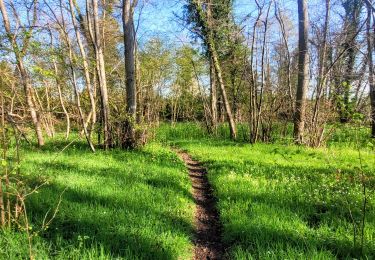
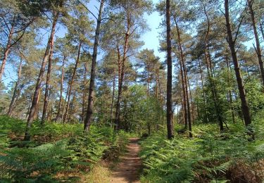
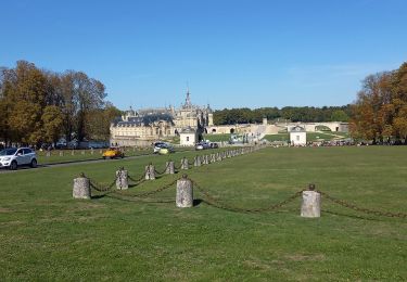
Tour Wandern von 27 km verfügbar auf Nordfrankreich, Oise, Lamorlaye. Diese Tour wird von LEDUNC vorgeschlagen.
Beschreibung
Champ de course Forêt
Ort
Land:
France
Region :
Nordfrankreich
Abteilung/Provinz :
Oise
Kommune :
Lamorlaye
Standort:
Unknown
Gehen Sie:(Dec)
Gehen Sie:(UTM)
457916 ; 5446221 (31U) N.
Kommentare
Touren in der Umgebung
randonnée abbaye de Royaumont
Wandern
Schwierig
(1)
Boran-sur-Oise,
Nordfrankreich,
Oise,
France
3h 8min
Ja
SM_COYE la FORET_7.9Km
Wandern
Medium
(5)
Coye-la-Forêt,
Nordfrankreich,
Oise,
France
7,9 km | 10 km-effort
2h 40min
Ja
FORET DE COYE BOUCLE 16 KM
Wandern
Sehr schwierig
(1)
Orry-la-Ville,
Nordfrankreich,
Oise,
France
16,3 km | 19,4 km-effort
4h 23min
Nein
Boucle autour des étangs de Commelles
Wandern
Sehr leicht
Coye-la-Forêt,
Nordfrankreich,
Oise,
France
23 km | 26 km-effort
5h 5min
Ja
Le tour du grand paris via le GR1 Etape 8 Coye - Dammartin
Wandern
Schwierig
Orry-la-Ville,
Nordfrankreich,
Oise,
France
38 km | 44 km-effort
8h 47min
Nein
SityTrail - 3204661 - gr1-orry-la-ville
Wandern
Schwierig
Orry-la-Ville,
Nordfrankreich,
Oise,
France
38 km | 44 km-effort
10h 5min
Nein
Coye la forêt Grand Parcours
Andere Aktivitäten
Sehr leicht
(1)
Chaumontel,
Île-de-France,
Val-d'Oise,
France
18,5 km | 22 km-effort
2h 6min
Ja
Boucle Forêt de Coye
Wandern
Sehr leicht
Coye-la-Forêt,
Nordfrankreich,
Oise,
France
7,4 km | 9,2 km-effort
2h 29min
Ja
chantilly Gouvieux
Wandern
Einfach
Chantilly,
Nordfrankreich,
Oise,
France
20 km | 0 m-effort
5h 59min
Ja