


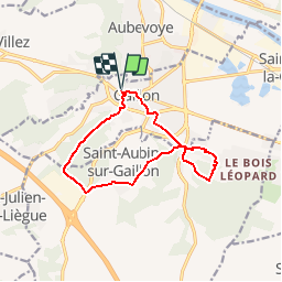


10,9 km | 13,1 km-effort


Benutzer


Kostenlosegpshiking-Anwendung
 SityTrail
IGN / Geografische Institute
SityTrail World
Die Welt öffnet sich für Sie
Tour Wandern von 11,3 km verfügbar auf Normandie, Eure, Gaillon. Diese Tour wird von douneto vorgeschlagen.
Rando Mars 2014
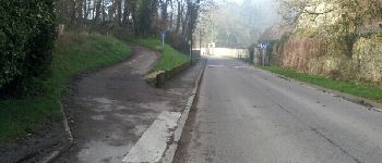
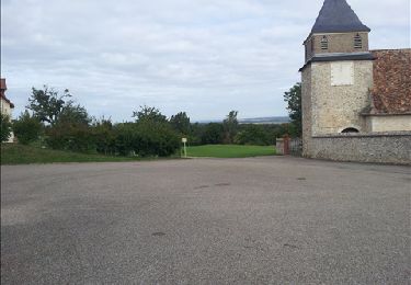
Départ du parking du château de Gaillon.


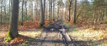
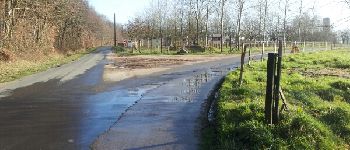
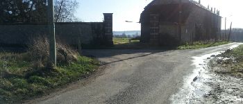
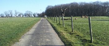
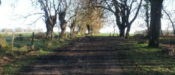
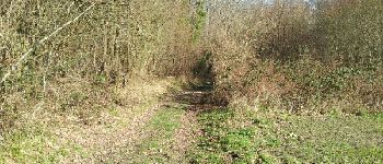
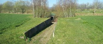
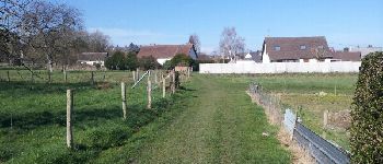
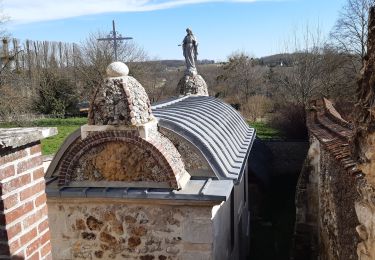
27 Fotos insgesamt. Klicken Sie auf ein Foto, um sie alle in der Galerie zu sehen.
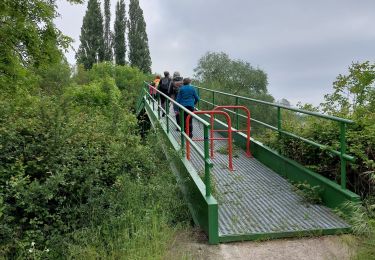
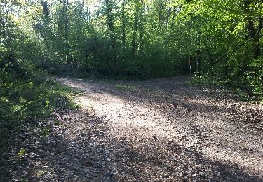
Wandern
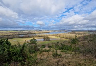
Wandern
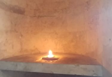
Wandern
Wandern
Wandern
Wandern

Wandern
Wandern
Wandern