


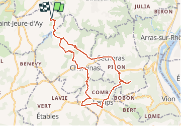

18,8 km | 25 km-effort


Benutzer


Kostenlosegpshiking-Anwendung
 SityTrail
IGN / Geografische Institute
SityTrail World
Die Welt öffnet sich für Sie
Tour Mountainbike von 18,9 km verfügbar auf Auvergne-Rhone-Alpen, Ardèche, Saint-Jeure-d'Ay. Diese Tour wird von Simboï Des Fi vorgeschlagen.
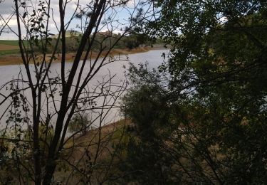
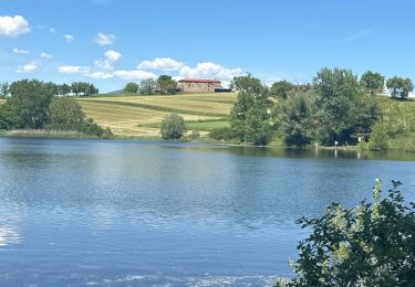
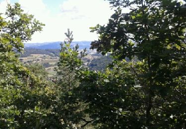
On se rapproche de la vallée du Rhône et donc des vignes produisant du St Joseph ! Détour conseillé aux ruines du château d'Osserand (ancien chevalier d ela table ronde) puis retour par LEMPS et CHEMINAS.
Passage aux pieds des églises à chaque commune.
Wandern

Motor

sport

Pferd

Wandern
Wandern
Wandern
Wandern
Wandern