


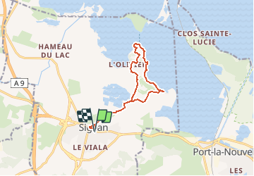

15,3 km | 22 km-effort


Benutzer


Kostenlosegpshiking-Anwendung
 SityTrail
IGN / Geografische Institute
SityTrail World
Die Welt öffnet sich für Sie
Tour Zu Fuß von 12,4 km verfügbar auf Okzitanien, Aude, Sigean. Diese Tour wird von SoleilMoussanais vorgeschlagen.
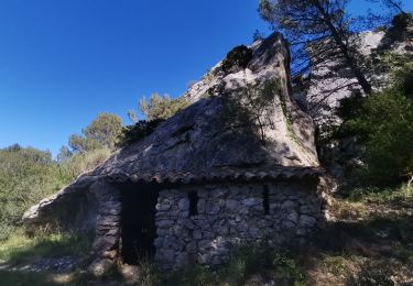
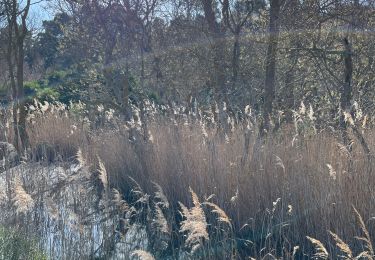
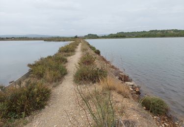
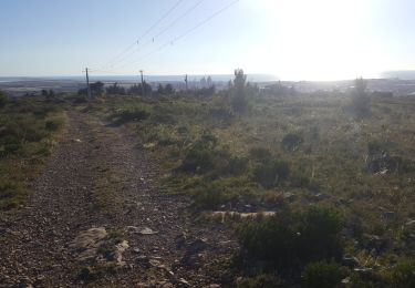
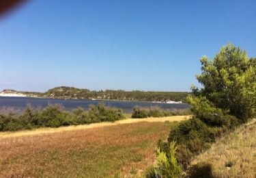
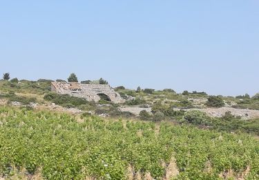
Randonnée en bordure du Grand Salin, visite du hameau des Cabanes de Sigean, table d'orientation avec vue sur l'île de l'Aute et Ste Lucie. Viste du vieux Sigean.
Wandern
Wandern
Wandern
Esel-Trekking

Wandern
Wandern
Wandern