


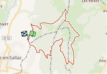

21 km | 31 km-effort

Benutzer GUIDE


Kostenlosegpshiking-Anwendung
 SityTrail
IGN / Geografische Institute
SityTrail World
Die Welt öffnet sich für Sie
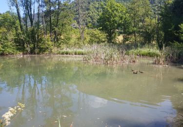
Tour Wandern von 12,1 km verfügbar auf Auvergne-Rhone-Alpen, Hochsavoyen, Viuz-en-Sallaz. Diese Tour wird von Kargil vorgeschlagen.
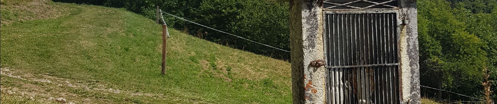
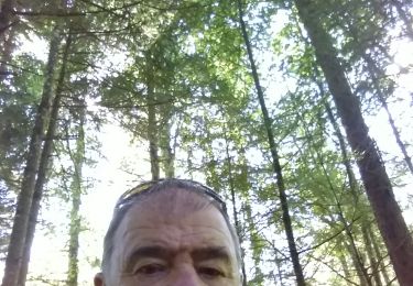
Montée abrupte avec quelques paliers sans grand intérêt autre que l'entrainement, le trail.
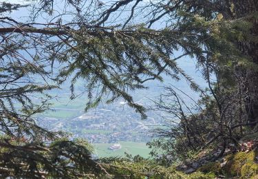
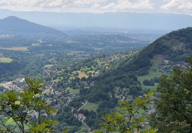
Belle vue au sommet.
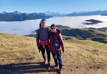
Descente agréable sur sentiers confortables avec montée 200m en intermédiaire pour rejoindre les chalets de Vernant et se diriger vers Viuz.


Wandern
Wandern
Wandern

Mountainbike

Laufen
Wandern
Wandern
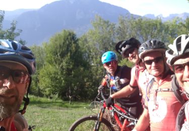
Mountainbike

Mountainbike