


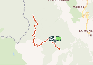

10,6 km | 21 km-effort

Benutzer


Kostenlosegpshiking-Anwendung
 SityTrail
IGN / Geografische Institute
SityTrail World
Die Welt öffnet sich für Sie
Tour Wandern von 9 km verfügbar auf Provence-Alpes-Côte d'Azur, Hochalpen, Crots. Diese Tour wird von SyMA vorgeschlagen.
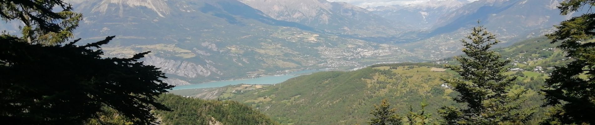
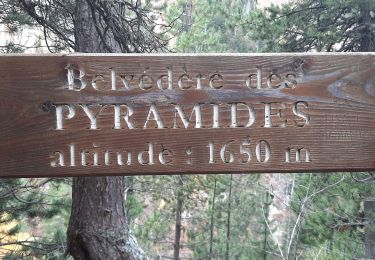
Belle balade facile sur sentier des pyramides en pleine forêt.
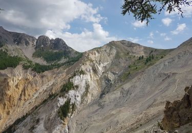
Ne pas faire en cas de pluie car quelques passages seraient à risque .
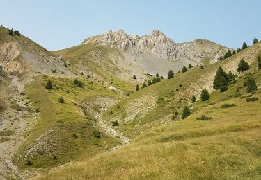
Ne pas oublier de faire le petit aller retour vers belvédère trés pédagogique .


Wandern

Wandern
Wandern

Wandern

Wandern

Wandern
Wandern
Wandern

Mountainbike