


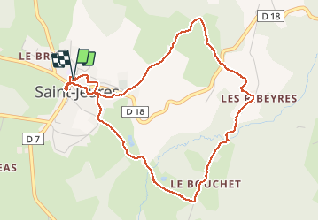

4,6 km | 6,9 km-effort


Benutzer


Kostenlosegpshiking-Anwendung
 SityTrail
IGN / Geografische Institute
SityTrail World
Die Welt öffnet sich für Sie
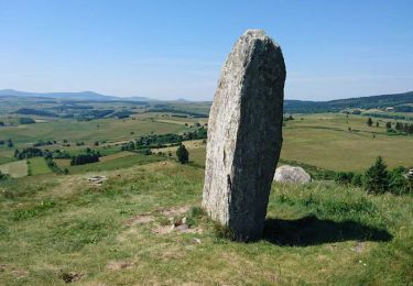
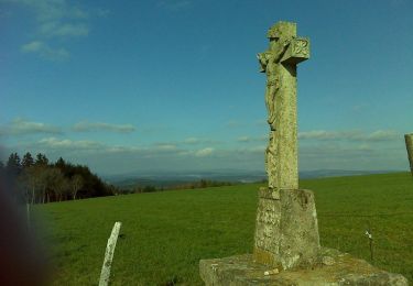
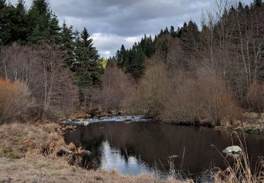
Tour Wandern von 5,2 km verfügbar auf Auvergne-Rhone-Alpen, Haute-Loire, Saint-Jeures. Diese Tour wird von adye vorgeschlagen.
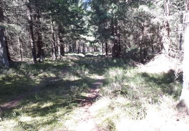
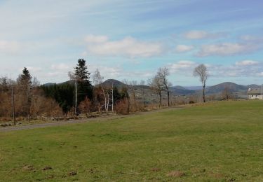
Balade familiale autour de Saint Jeur et le long de son ruisseau Le Mousse. Peu de route, chemins de randonnées faciles et avec ombre.
Wandern
Wandern
Wandern
Wandern
Wandern
Wandern
Mountainbike

Wandern
Wandern