


6,8 km | 8,6 km-effort

Benutzer


Kostenlosegpshiking-Anwendung
 SityTrail
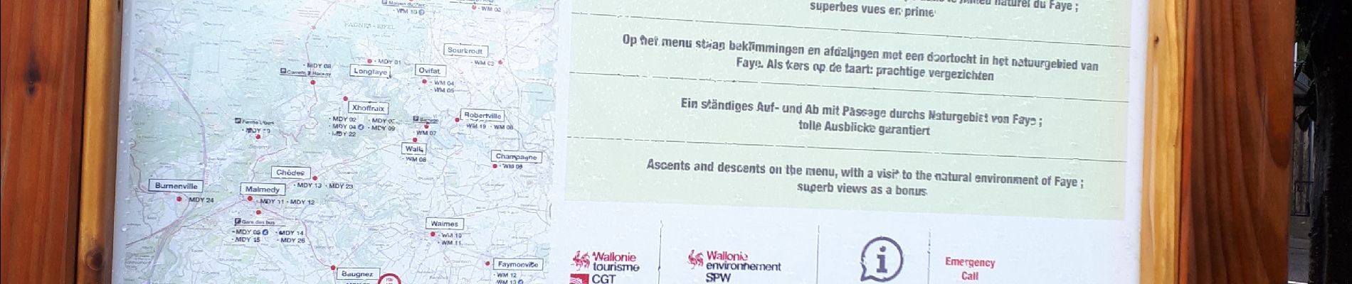
IGN / Geografische Institute
SityTrail World
Die Welt öffnet sich für Sie
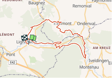
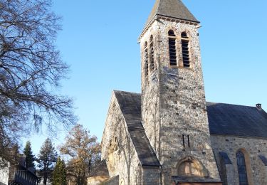
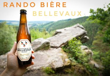
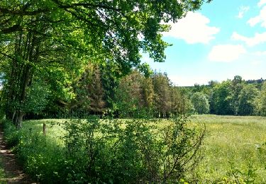
Tour Wandern von 18,9 km verfügbar auf Wallonien, Lüttich, Malmedy. Diese Tour wird von jeangulu vorgeschlagen.
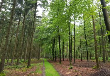
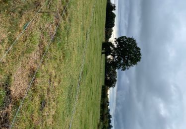
Très belle randonnée dans les bois avec petits sentiers et des passages sur plancher en bois et petits ponts avec le cours d eau l ambleve par endroit super randonnée à refaire


Wandern
Wandern
Wandern

Wandern
Wandern
Wandern
Zu Fuß
Wandern
Rollerblading