


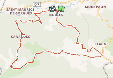

56 km | 71 km-effort
![Tour Wandern Fondamente - [Itinéraire] Circuit de Canabols - Photo](https://media.geolcdn.com/t/1900/400/ext.pjpeg?maxdim=2&url=https%3A%2F%2Fstatic1.geolcdn.com%2Fsiteimages%2Fupload%2Ffiles%2F1553511878bg_sport_marche.png)

Benutzer


Kostenlosegpshiking-Anwendung
 SityTrail
IGN / Geografische Institute
SityTrail World
Die Welt öffnet sich für Sie
Tour Wandern von 15,4 km verfügbar auf Okzitanien, Aveyron, Fondamente. Diese Tour wird von nanie vorgeschlagen.
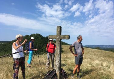
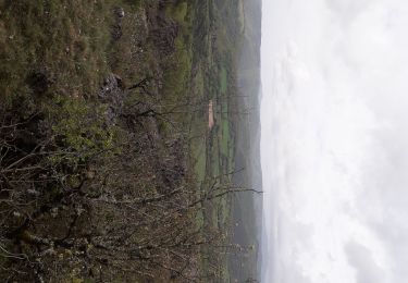
Boucle qui vous mène à la croix de Serre Pountchut, promesse d’un panorama sur la vallée de la Sorgues et le plateau du Guilhaumard
Rennrad
Wandern
Wandern


sport
Wandern

Wandern
Wandern

Andere Aktivitäten
Wandern