


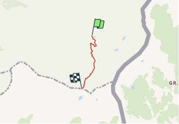

13,1 km | 23 km-effort


Benutzer


Kostenlosegpshiking-Anwendung
 SityTrail
IGN / Geografische Institute
SityTrail World
Die Welt öffnet sich für Sie
Tour Wandern von 2,3 km verfügbar auf Provence-Alpes-Côte d'Azur, Hochalpen, Saint-Véran. Diese Tour wird von astro45 vorgeschlagen.
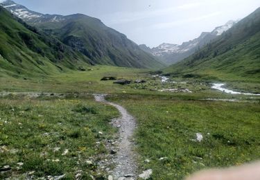
Montée au col de la Noire depuis le refuge de la Blanche.
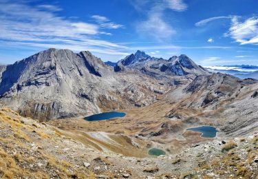
Belle vue sur le lac de la Noire.
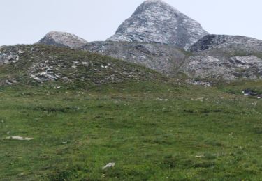
Possibilité de monter au Pic de la Farneiréta.


Wandern
Wandern

Wandern

Wandern

Wandern

Wandern
Wandern
Wandern

Wandern