


11 km | 15,4 km-effort

Benutzer


Kostenlosegpshiking-Anwendung
 SityTrail
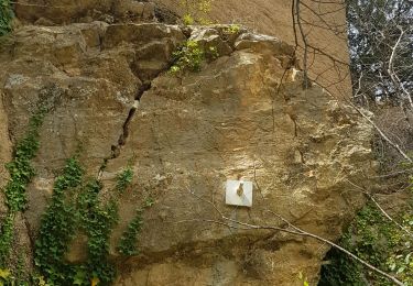
IGN / Geografische Institute
SityTrail World
Die Welt öffnet sich für Sie
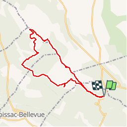
Tour Wandern von 17,3 km verfügbar auf Provence-Alpes-Côte d'Azur, Var, Aups. Diese Tour wird von Sugg vorgeschlagen.
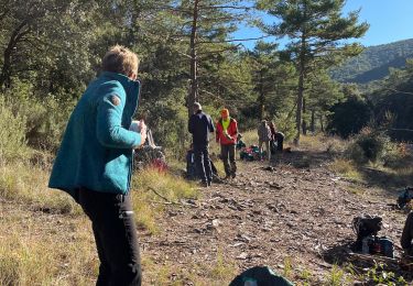
Rando avec Restons en Forme du 12 février 2014.Guide : Pierre
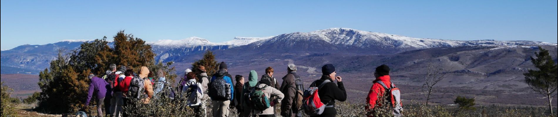
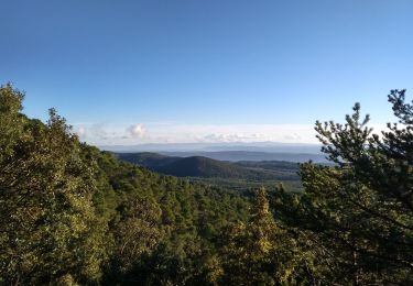
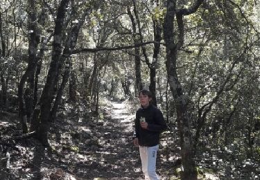
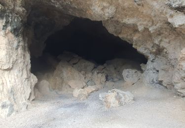
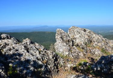
Très beau parcours jusqu'à la citerne en 767, en passant par le pylône de l'Aigle en 982.
Pas mal de grimpettes sur le retour, beau point de vue en 810.
PS : comme d'hab,la durée comprend les arrêts et le pique nique .


Wandern

Wandern

Wandern
Wandern
Laufen
Wandern
Wandern
Wandern
Wandern
Tres belle randonnée, à faire quand il ne fait pas trop chaud
magnifique