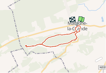

8,9 km | 12,7 km-effort


Benutzer GUIDE


Kostenlosegpshiking-Anwendung
 SityTrail
IGN / Geografische Institute
SityTrail World
Die Welt öffnet sich für Sie
Tour Wandern von 6,3 km verfügbar auf Wallonien, Namur, Doische. Diese Tour wird von Desrumaux vorgeschlagen.
Balade proposée par l'office du tourisme de Doiche
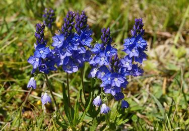
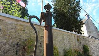
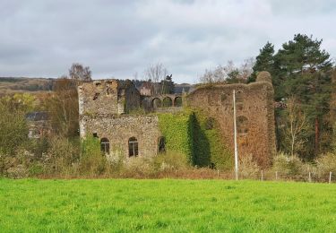
Cette promenade vous emmène par bois et campagne à la découverte d'un sanctuaire gallo-romain dans le bois de Noêl et la réserve naturelle "Les Hurées".
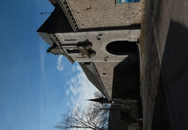
Départ: Eglise de Matagne-la-Grande


Wandern

Wandern

Wandern

Wandern

Mountainbike
Wandern

Wandern
Wandern