


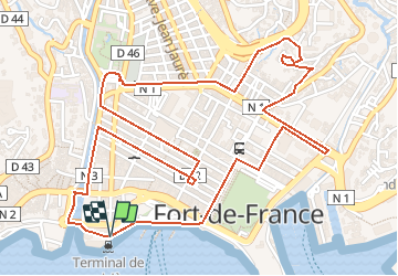

6,5 km | 9,6 km-effort


Benutzer GUIDE


Kostenlosegpshiking-Anwendung
 SityTrail
IGN / Geografische Institute
SityTrail World
Die Welt öffnet sich für Sie
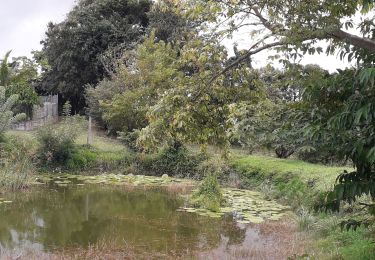
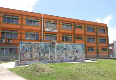
Tour Zu Fuß von 5 km verfügbar auf Martinique, Unbekannt, Fort-de-France. Diese Tour wird von Lamartiniere vorgeschlagen.
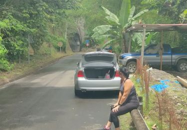
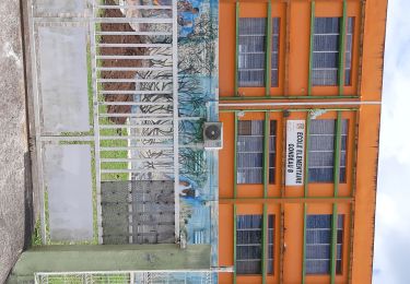
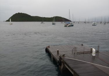
Rando dans la ville de Fort-de-France, avec départ et arrivée près la Tour Lumina Sophie. Passage près de la plupart des édifices de la ville et commentaires.
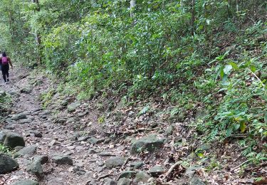
Wandern
Wandern
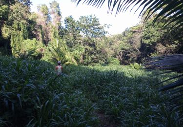
Wandern
Wandern
Wandern
Motorboot
Laufen
Wandern
Wandern