


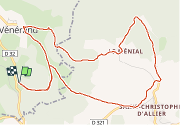

15,9 km | 23 km-effort


Benutzer


Kostenlosegpshiking-Anwendung
 SityTrail
IGN / Geografische Institute
SityTrail World
Die Welt öffnet sich für Sie
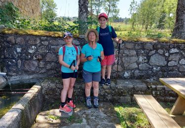
Tour Wandern von 7,5 km verfügbar auf Auvergne-Rhone-Alpen, Haute-Loire, Saint-Vénérand. Diese Tour wird von VincentChevalier vorgeschlagen.
Très jolie ballade traversant trois petits villages.Belle vue sur la haute vallée de l'Allier et le plateau du Devez.
Nordic Walking
Wandern
Wandern

Zu Fuß
Wandern

Wandern

Mountainbike
Wandern
Wandern