


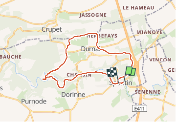


17 km | 23 km-effort

Benutzer


Kostenlosegpshiking-Anwendung
 SityTrail
IGN / Geografische Institute
SityTrail World
Die Welt öffnet sich für Sie
Tour Wandern von 14,4 km verfügbar auf Wallonien, Namur, Yvoir. Diese Tour wird von Thierry0032 vorgeschlagen.
Prendre gilet fluorescent pour une partie route.


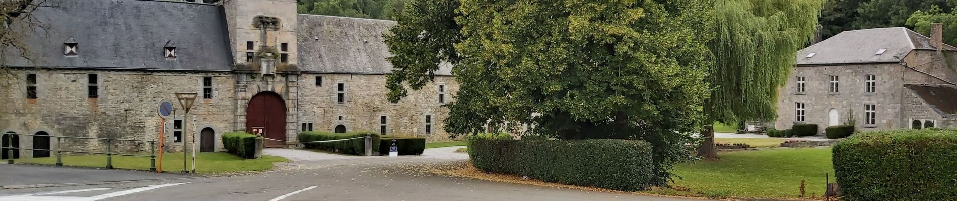
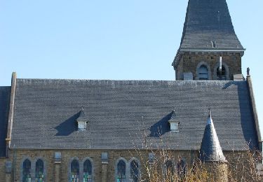
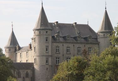
34 Fotos insgesamt. Klicken Sie auf ein Foto, um sie alle in der Galerie zu sehen.

Wandern

Wandern

Wandern

Wandern

Wandern

Wandern

Wandern
Wandern
Wandern