


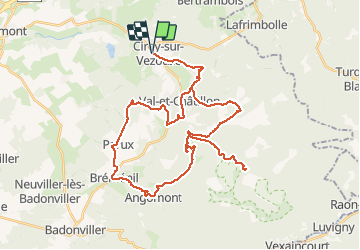

45 km | 58 km-effort


Benutzer


Kostenlosegpshiking-Anwendung
 SityTrail
IGN / Geografische Institute
SityTrail World
Die Welt öffnet sich für Sie
Tour Elektrofahrrad von 44 km verfügbar auf Großer Osten, Mörthe und Mosel, Cirey-sur-Vezouze. Diese Tour wird von gmalgrase vorgeschlagen.
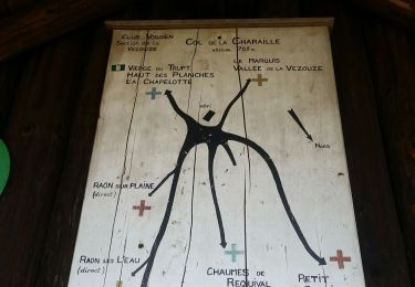
Jolie Ballade. Mais ne pas faire la partie Croix Collin et Croix de Fer, le chemin est plutôt mauvais...
Mountainbike
Wandern
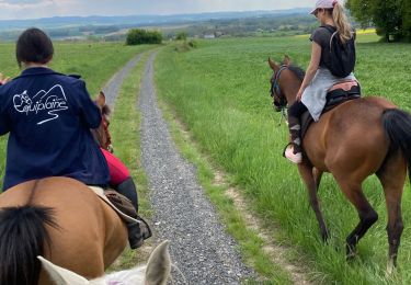
Reiten

Wandern
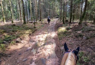
Reiten
Wandern
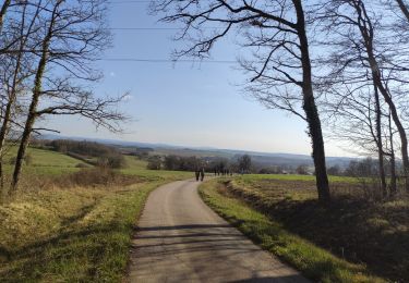
Wandern

Mountainbike

Mountainbike