


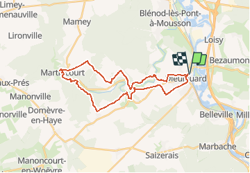

29 km | 35 km-effort


Benutzer


Kostenlosegpshiking-Anwendung
 SityTrail
IGN / Geografische Institute
SityTrail World
Die Welt öffnet sich für Sie
Tour Wandern von 28 km verfügbar auf Großer Osten, Mörthe und Mosel, Dieulouard. Diese Tour wird von DanielROLLET vorgeschlagen.
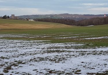
2020 07 19 - 9h00 à 17h00 - beau temps chaud - Avec Marie
Beaucoup de route, ruisseau inabordable (clôtures) villages sans grand intérêt, Grand Orme qui est en fait un groupe de tilleuls.
Beaucoup de découvert, attention au soleil.
Fahrrad
Zu Fuß

Mountainbike
Fahrrad
Rennrad
Mountainbike

Wandern
Wandern
Wandern