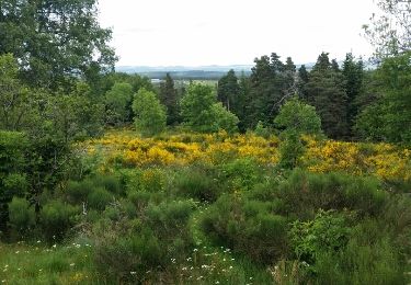
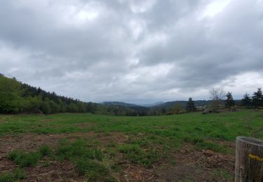
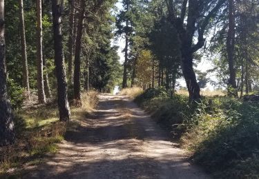
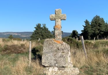
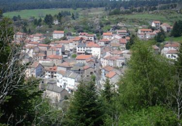
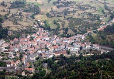
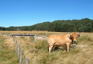
Tour Reiten Saint-Jean-la-Fouillouse - Etoile 23km : Le Cellier - Pierrefiche - Rocles - Soulages - Photo

Etoile 23km : Le Cellier - Pierrefiche - Rocles - Soulages

 Lozère Cheval
Lozère Cheval

Benutzer

© OpenStreetMap contributors
Länge
Länge
23 km
Maximale Höhe
Maximale Höhe
1199 m
Positive Höhendifferenz
508 m
Km-Effort
Km-Effort  
30 km
Min. Höhe
Min. Höhe
1028 m
Negative Höhendifferenz
508 m
Boucle
Boucle
Ja
Erstellungsdatum :
2020-07-16 08:13:57.586
Letzte Änderung :
2020-07-16 08:29:31.125

(0 Nachricht)

Reiten
Reiten
5h00
Schwierigkeit : Medium

Scannen Sie diesen QR-Code, um die Tour in der SityTrail-Anwendung zu öffnen

Kostenlosegpshiking-Anwendung

Logo SityTrail SityTrail

IGN / Geografische Institute

SityTrail aus dem App Store herunterladen SityTrail von Google Play herunterladen

Logo SityTrail SityTrail World

Die Welt öffnet sich für Sie

SityTrail aus dem App Store herunterladen SityTrail von Google Play herunterladen SityTrail auf Huawei AppGallery herunterladen

Über SityTrail

Tour Reiten von 23 km verfügbar auf Okzitanien, Lozère, Saint-Jean-la-Fouillouse. Diese Tour wird von Lozère Cheval vorgeschlagen.

Beschreibung

Boucle à partir du cellier avec 500m de dénivelé posititif

Höhenprofil

POIs

POI Pierrefiche - Porte 1 - Photo
Lozère Cheval
PIERREFICHE 
POI Pierrefiche - Portes 2 - Photo
Lozère Cheval
PIERREFICHE 
POI Pierrefiche - Porte 3 - Photo
Lozère Cheval
PIERREFICHE 
POI Auroux - Passage caché - Photo
Lozère Cheval

Ort

Land:
France
Region :
Okzitanien
Abteilung/Provinz :
Lozère
Kommune :
Saint-Jean-la-Fouillouse
Standort:
Unknown
Gehen Sie:(UTM)
556829 ; 4951040 (31T) N.

Touren in der Umgebung

Tour Wandern Auroux - Auroux en passant par Soulage et la croix de Parpaillon  - Photo
Wandern
alainjoseph6

Wandern

Medium
Auroux, Okzitanien, Lozère, France
9,6 km | 13,3 km-effort
3h 17min
Ja
Tour Wandern Auroux - parpaillon - Photo
Wandern
TOULAUDIN

Wandern

Sehr leicht
Auroux, Okzitanien, Lozère, France
8,8 km | 12,6 km-effort
3h 24min
Ja
Tour Wandern Chastanier - rando chastagnier chemin prive - Photo
Wandern
attelageplaisir

Wandern

Medium
Chastanier, Okzitanien, Lozère, France
7,3 km | 9,8 km-effort
2h 22min
Ja
Tour Wandern Rocles - Palhères - lac de Naussac - Bessettes - Photo
Wandern
g.chotel

Wandern

Einfach
Rocles, Okzitanien, Lozère, France
11,2 km | 13,5 km-effort
2h 17min
Ja
Tour Mountainbike Auroux - Espace VTT FFC du Gévaudan - n°12 - Circuit du Château - Photo
Mountainbike
tracegps

Mountainbike

Schwierig
Auroux, Okzitanien, Lozère, France
14,7 km | 19,8 km-effort
2h 0min
Ja
Tour Mountainbike Auroux - Espace VTT FFC du Gévaudan - n°11 - Circuit du Chapeauroux - Photo
Mountainbike
tracegps

Mountainbike

Medium
Auroux, Okzitanien, Lozère, France
9,1 km | 11,4 km-effort
1h 0min
Ja
Tour Mountainbike Chastanier - Espace VTT FFC du Gévaudan - n°06 - Circuit de Bessettes - Photo
Mountainbike
tracegps

Mountainbike

Medium
Chastanier, Okzitanien, Lozère, France
8,9 km | 11,8 km-effort
1h 0min
Ja
Tour sport Naussac-Fontanes - 6Ra jeudi - Photo
sport
manu69002

sport

Sehr leicht
Naussac-Fontanes, Okzitanien, Lozère, France
44 km | 72 km-effort
Unbekannt
Nein
Tour Mountainbike Grandrieu - Sodo reco - Photo
Mountainbike
Halberstadt

Mountainbike

Einfach
Grandrieu, Okzitanien, Lozère, France
13,1 km | 17,3 km-effort
1h 46min
Ja


Schließen
Meine Abonnements