


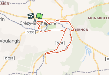

28 km | 35 km-effort

Benutzer


Kostenlosegpshiking-Anwendung
 SityTrail
IGN / Geografische Institute
SityTrail World
Die Welt öffnet sich für Sie
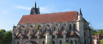
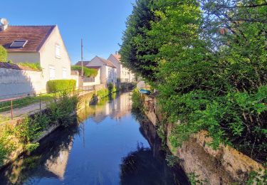
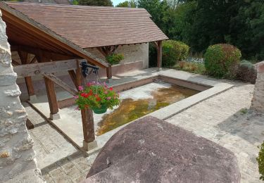
Tour Hybrid-Bike von 7,3 km verfügbar auf Île-de-France, Seine-et-Marne, Crécy-la-Chapelle. Diese Tour wird von Bntg vorgeschlagen.
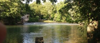
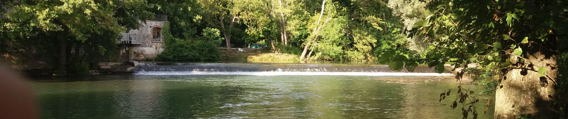
Petite ballade agréable et facile mis à part un dénivelé positif pour atteindre le Km 2,5 mais un peut d'effort pour une belle récompense.


Wandern

Wandern
Wandern
Wandern
Wandern
Wandern
Wandern
Wandern
Wandern