


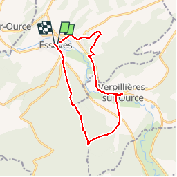

21 km | 26 km-effort


Benutzer


Kostenlosegpshiking-Anwendung
 SityTrail
IGN / Geografische Institute
SityTrail World
Die Welt öffnet sich für Sie
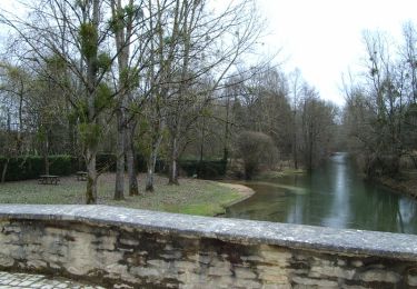
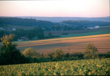
Tour Wandern von 12,4 km verfügbar auf Großer Osten, Aube, Essoyes. Diese Tour wird von nicole.reine@wanadoo.fr vorgeschlagen.
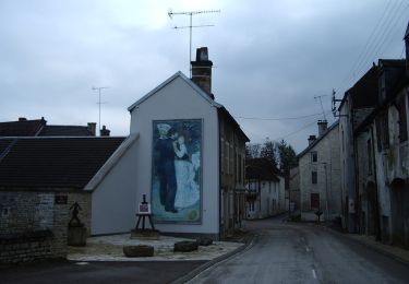
départ place de la mairie d'essoyes ou du parking du cimetière de verpillères sur ources
sinon il existe un chemin derrière la mairie pour se garer
Wandern
Wandern
Wandern
Wandern
Wandern
Fahrrad

Wandern