


10,7 km | 18,9 km-effort


Benutzer


Kostenlosegpshiking-Anwendung
 SityTrail
IGN / Geografische Institute
SityTrail World
Die Welt öffnet sich für Sie
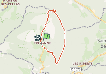
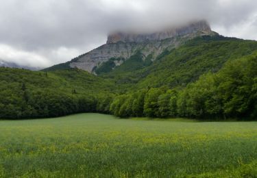
Tour Wandern von 7,3 km verfügbar auf Auvergne-Rhone-Alpen, Isère, Saint-Martin-de-Clelles. Diese Tour wird von rapako vorgeschlagen.
Au départ de Trézane.
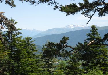
Le sentier de retour partant sur la droite vers les 6km a disparu. Il est surement préférable de continuer la descente raide vers la Pas de l'Escalier. A vérifier

Wandern

Wandern

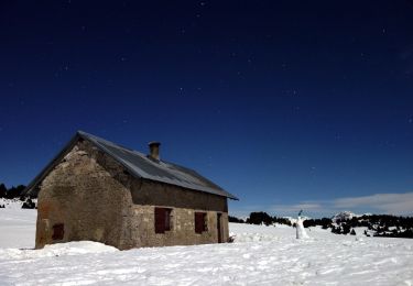
Schneeschuhwandern
Wandern
Wandern
Wandern
Wandern
Zu Fuß
Zu Fuß