


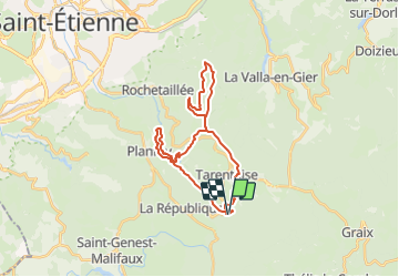

17,9 km | 26 km-effort


Benutzer


Kostenlosegpshiking-Anwendung
 SityTrail
IGN / Geografische Institute
SityTrail World
Die Welt öffnet sich für Sie
Tour Reiten von 28 km verfügbar auf Auvergne-Rhone-Alpen, Loire, Tarentaise. Diese Tour wird von quetschouille vorgeschlagen.
Départ parking pont Sauvignet
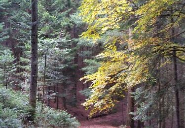
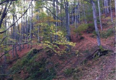
Rando des barrages du pat du riot et du gouffre d'enfer boucle Salvaris
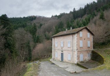
Restaurant à Salvaris
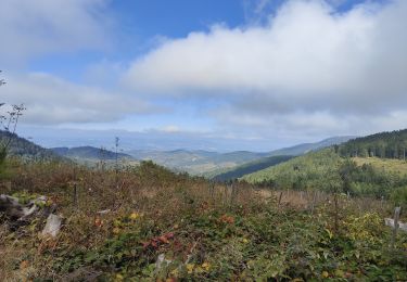
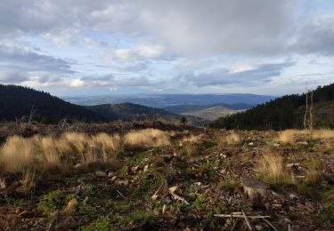
Magnifiques vues
Wandern
Zu Fuß
Wandern
Wandern
Wandern
Wandern
Wandern
Wandern
Wandern