


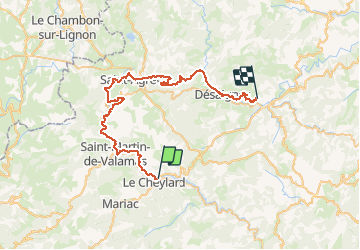

15,6 km | 24 km-effort


Benutzer


Kostenlosegpshiking-Anwendung
 SityTrail
IGN / Geografische Institute
SityTrail World
Die Welt öffnet sich für Sie
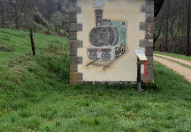
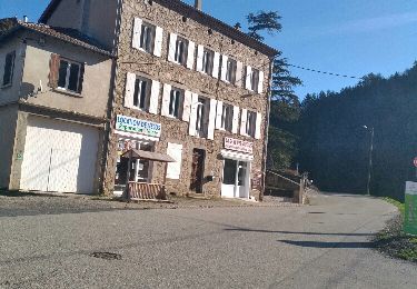
Tour Radtourismus von 50 km verfügbar auf Auvergne-Rhone-Alpen, Ardèche, Le Cheylard. Diese Tour wird von nmo69100 vorgeschlagen.
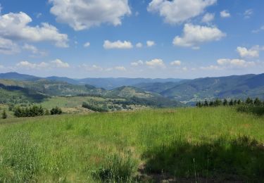
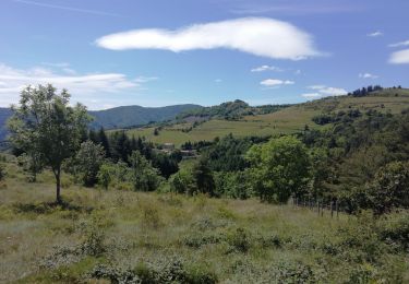
On monte sur la Dolce Via jusqu'à Saint Agreve, puis descentre l'apres midi sur lamastre par petites routes bucolique
Wandern
Wandern

Wandern

Wandern
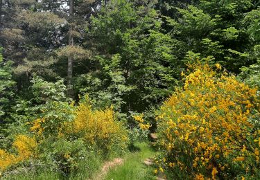
Wandern
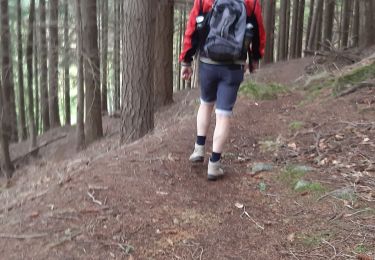
Wandern
Wandern
Wandern
Wandern