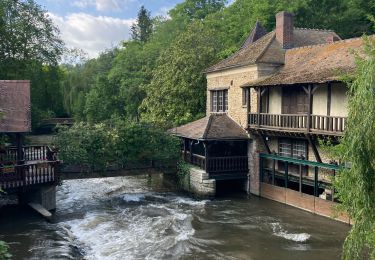
11,1 km | 13,2 km-effort
Fontaine sous Jouy
maillebreze
Benutzer
Länge
8 km
Maximale Höhe
46 m
Positive Höhendifferenz
53 m
Km-Effort
8,7 km
Min. Höhe
28 m
Negative Höhendifferenz
53 m
Boucle
Ja
Erstellungsdatum :
2020-07-04 11:56:19.401
Letzte Änderung :
2020-07-04 12:23:35.688
1h54
Schwierigkeit : Medium
Kostenlosegpshiking-Anwendung
Über SityTrail
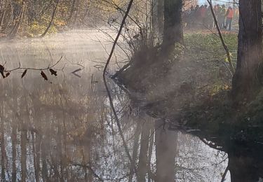
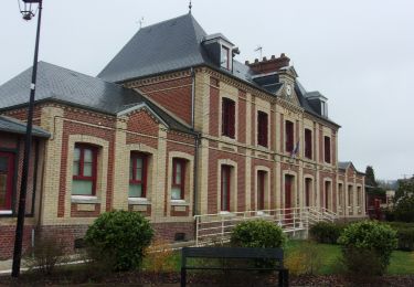
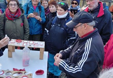
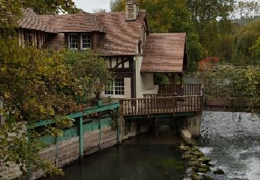
Tour Wandern von 8 km verfügbar auf Normandie, Eure, Fontaine-sous-Jouy. Diese Tour wird von maillebreze vorgeschlagen.
Ort
Land:
France
Region :
Normandie
Abteilung/Provinz :
Eure
Kommune :
Fontaine-sous-Jouy
Standort:
Unknown
Gehen Sie:(Dec)
Gehen Sie:(UTM)
375357 ; 5436384 (31U) N.
Kommentare
Touren in der Umgebung
Ecardenville sur Eure (122)
Wandern
Einfach
(1)
Clef-Vallée-d'Eure,
Normandie,
Eure,
France
2h 54min
Ja
20240323-La Croix St Leuffroy
Wandern
Medium
Clef-Vallée-d'Eure,
Normandie,
Eure,
France
11,1 km | 13,1 km-effort
3h 22min
Ja
Ecardenville 6 novembre 2022
Wandern
Schwierig
(1)
Autheuil-Authouillet,
Normandie,
Eure,
France
10,8 km | 13 km-effort
2h 54min
Ja
rando ot gaillon du 14 nov 2019
Wandern
Sehr leicht
Clef-Vallée-d'Eure,
Normandie,
Eure,
France
7,3 km | 9,2 km-effort
2h 56min
Ja
Fontaine sous jouy
Wandern
Einfach
(1)
Fontaine-sous-Jouy,
Normandie,
Eure,
France
8,5 km | 9,2 km-effort
2h 19min
Ja
Jouy sur eure
Wandern
Medium
Fontaine-sous-Jouy,
Normandie,
Eure,
France
13,4 km | 16,3 km-effort
3h 21min
Ja
Vallée de la Rance
Wandern
Medium
Rouvray,
Normandie,
Eure,
France
12,2 km | 15 km-effort
3h 3min
Ja
Rando Fontaine sous Jouy du 19 juin 2023
Wandern
Medium
Jouy-sur-Eure,
Normandie,
Eure,
France
8,3 km | 9,1 km-effort
2h 34min
Ja
Les étangs de fontaine sous jouy
Wandern
Einfach
Fontaine-sous-Jouy,
Normandie,
Eure,
France
7,8 km | 8,6 km-effort
2h 22min
Ja