


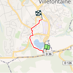

8,4 km | 10,6 km-effort


Benutzer


Kostenlosegpshiking-Anwendung
 SityTrail
IGN / Geografische Institute
SityTrail World
Die Welt öffnet sich für Sie
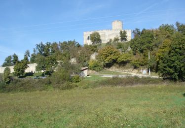
Tour Andere Aktivitäten von 1,2 km verfügbar auf Auvergne-Rhone-Alpen, Isère, Villefontaine. Diese Tour wird von amelard vorgeschlagen.
Difficulté: Classe 2
Durée: 45mn
Ville: Villefontaine
Départ: Vaugelas
Arrivée: Tardin

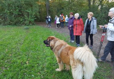
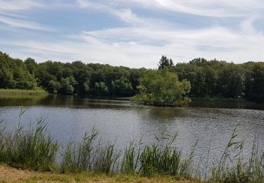
Wandern
Mountainbike
Wandern
Wandern
Wandern
Radtourismus
Fahrrad
Mountainbike
Mountainbike