


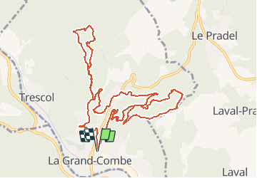


11,7 km | 17,1 km-effort


Benutzer


Kostenlosegpshiking-Anwendung
 SityTrail
IGN / Geografische Institute
SityTrail World
Die Welt öffnet sich für Sie
Tour Wandern von 14,9 km verfügbar auf Okzitanien, Gard, La Grand-Combe. Diese Tour wird von dansmabulle vorgeschlagen.
30 - LA GRAND-COMBE
15.5 Km - 05:30 Heures - Dénivelé 650 mètres
Départ randonnée :
Parking à coté d' Intermarché de La Grand-Combe (Gard 30)
A voir le long du parcours : château trouillas, chapelle, ancien vestige des mines de charbons : puits ricard .
Balade à faire de préférence semaine du 04 Décembre pour la fête des mineurs et ses nombreuses animations : charbons ardents
Bonne randonnée
Wandern
Wandern

Wandern
Wandern

Wandern
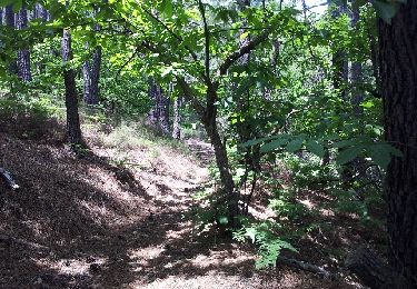
Wandern
Wandern
Wandern
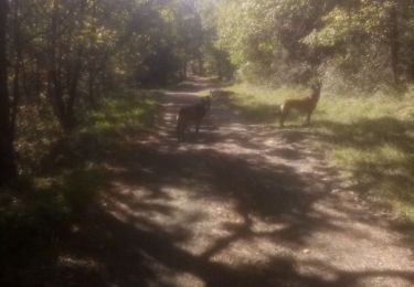
Wandern