


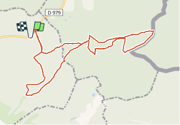

15,9 km | 21 km-effort
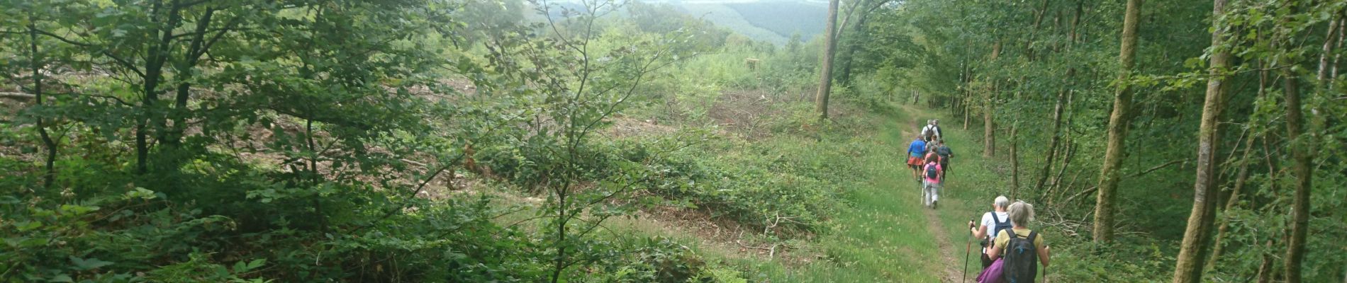
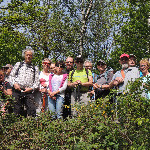
Dynamique et joyeuse


Kostenlosegpshiking-Anwendung
 SityTrail
IGN / Geografische Institute
SityTrail World
Die Welt öffnet sich für Sie
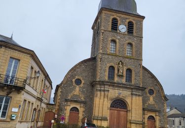
Tour Wandern von 11,7 km verfügbar auf Großer Osten, Ardennes, La Grandville. Diese Tour wird von Marche de Prix L M vorgeschlagen.
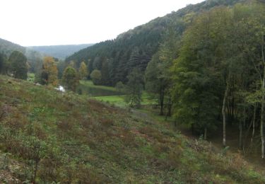
Départ dans un virage entre La Grandville et Gespunsart.
Marche facile , une longue côte seule difficulté.

Wandern

Andere Aktivitäten
Wandern

Wandern
Wandern
Andere Aktivitäten

Wandern

Mountainbike
Mountainbike