


16,1 km | 26 km-effort


Benutzer


Kostenlosegpshiking-Anwendung
 SityTrail
IGN / Geografische Institute
SityTrail World
Die Welt öffnet sich für Sie
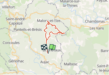
Tour Wandern von 19,8 km verfügbar auf Okzitanien, Gard, Aujac. Diese Tour wird von dansmabulle vorgeschlagen.
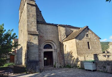
TOUR DES HAMEAUX DE MALONS
19.8 Km - 06:30 - D 600 m
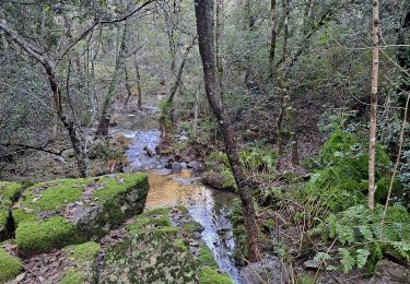
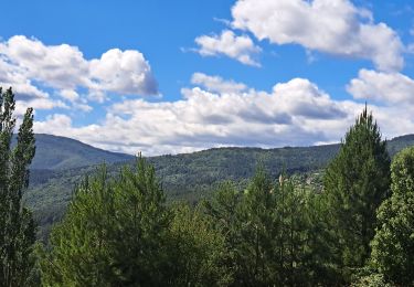
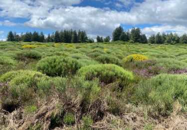
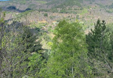
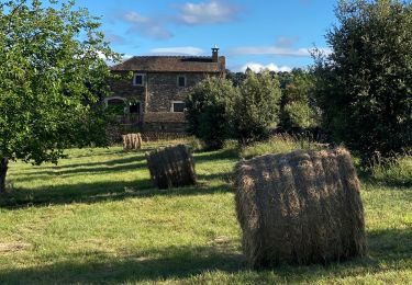
Départ randonnée : col du Péras sur la commune d'Aujac (Gard 30) Tour des hameaux de MalonsRandonnée de 22,5 km au départ du col du Péras.Superbe paysages, superbes hameauxUne petite grimpette pour remonter à partir du FrontalBonne randonnée
Wandern
Wandern
Wandern
Wandern
Wandern
Wandern
Wandern
Wandern
Wandern