


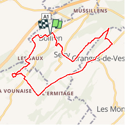

8,6 km | 11 km-effort


Benutzer


Kostenlosegpshiking-Anwendung
 SityTrail
IGN / Geografische Institute
SityTrail World
Die Welt öffnet sich für Sie
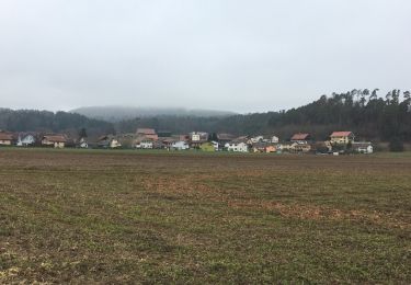
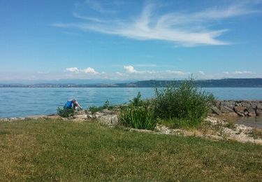
Tour Wandern von 8,9 km verfügbar auf Freiburg, Broye Bezirk, Lully (FR). Diese Tour wird von gpiller vorgeschlagen.
Trajet Bicubic - Villars-Bramard - Granges-Marnand - Ménières - Vesin - Montet - Bollion: 22km, 30min, Fr. 4.00. Parking vers le millieu du village sur la droite.
Café La Caravelle, route de Frasses 23.
1483 Montet (Broye)
Téléphone 026 665 12 98
Zu Fuß
Wandern
Wandern
Wandern
Wandern
Fahrrad

Fahrrad
Fahrrad
Andere Aktivitäten