


24 km | 35 km-effort


Benutzer


Kostenlosegpshiking-Anwendung
 SityTrail
IGN / Geografische Institute
SityTrail World
Die Welt öffnet sich für Sie
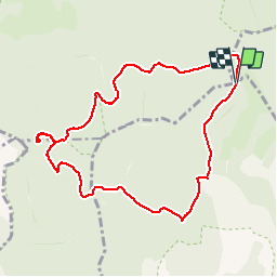
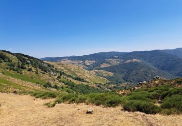
Tour Wandern von 9,5 km verfügbar auf Okzitanien, Gard, Arrigas. Diese Tour wird von dansmabulle vorgeschlagen.
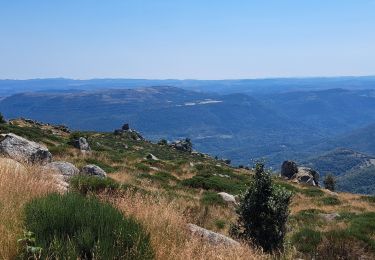
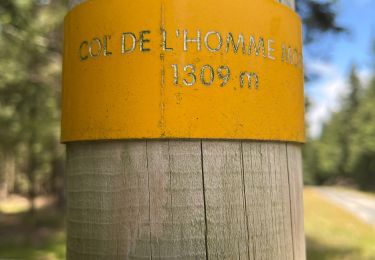
COL DE L HOMME MORT - PIC SAINT GUIRAL
9.5Km - 03h00
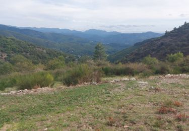
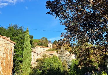
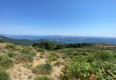
Départ randonnée : Au col du minier prendre la direction col de l'homme mort (Gard 30) Balade facile avec de très beaux points de vue, escalade du Saint Guiral un peut difficile pour les enfants, mais quel point de vue! Circuit à faire par beau temps. Bonne balade .
Wandern
Wandern
Wandern
Wandern
Wandern
Wandern
Wandern
Wandern
Wandern
test