


13,9 km | 19,6 km-effort


Benutzer


Kostenlosegpshiking-Anwendung
 SityTrail
IGN / Geografische Institute
SityTrail World
Die Welt öffnet sich für Sie
Tour Wandern von 11,5 km verfügbar auf Okzitanien, Gard, Arphy. Diese Tour wird von dansmabulle vorgeschlagen.
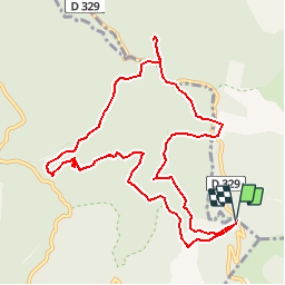
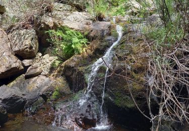
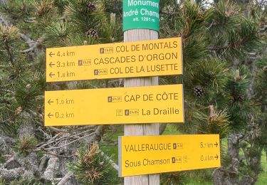
CAP-DE-COTE - CASCADE D ORGON
12.0Km - 04h30
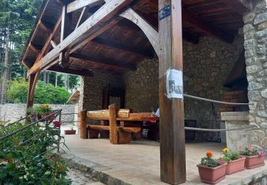
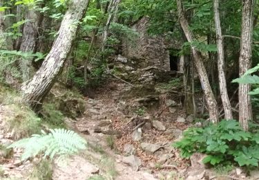
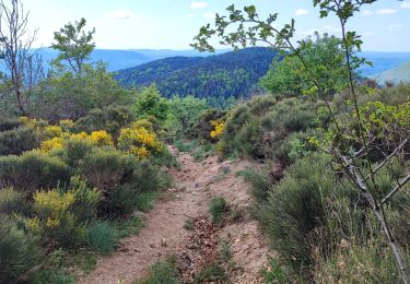
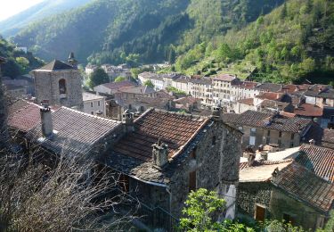
Départ randonnée :Cap de Côte au gîte d'étape (gard).Le départ se fera de cap de Côte au gîte d'étape pour reprendre le chemin du bas qui rejoint la route jusqu'au col de Broue par la cascade.Nous obliquerons par la route forestière jusqu'aux cascades que nous verrons du haut d'une jolie passerelle.Nous continuerons ensuite vers le col de la Lusette et irons jusqu'au belvédaire, duquel, nous aurons la vue sur, le Mt. Aigoual plein nord, et la haute vallée de l'Hérault.Nous prendrons ensuite la draille de la transhumance pour rattrapper le sentier de Cap, magnifique vue sur la vallée et la cascade.
Wandern

Wandern
Wandern
Wandern
Wandern
Wandern
Zu Fuß
Wandern