


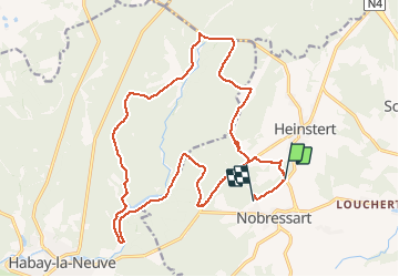

7,8 km | 10,8 km-effort


Benutzer


Kostenlosegpshiking-Anwendung
 SityTrail
IGN / Geografische Institute
SityTrail World
Die Welt öffnet sich für Sie
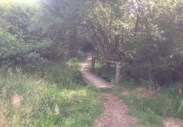
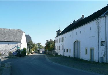
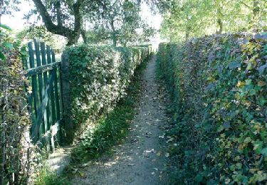
Tour Mountainbike von 21 km verfügbar auf Wallonien, Luxemburg, Attert. Diese Tour wird von Tim0130 vorgeschlagen.
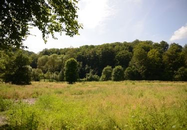
Superbe ballade dans les Ardennes belge proche de la forêt d'Enlier. Quelques passages techniques.
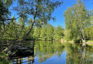
De beaux endroits qui valent la peine de s'arrêter le temps d'une photo (château, ancienne forge,...)
Wandern
Wandern

Pferd

Mountainbike

Andere Aktivitäten
Zu Fuß
Mountainbike
Wandern
Wandern