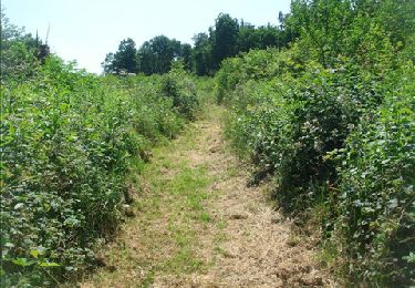
6,8 km | 8,9 km-effort
Ferrières - Le Trou - Raumont - Thier - Ferrières
chrlouette
Benutzer
Länge
7,7 km
Maximale Höhe
364 m
Positive Höhendifferenz
149 m
Km-Effort
9,7 km
Min. Höhe
231 m
Negative Höhendifferenz
148 m
Boucle
Ja
Erstellungsdatum :
2020-06-09 15:55:23.69
Letzte Änderung :
2020-06-09 20:02:44.393
2h00
Schwierigkeit : Sehr leicht
Kostenlosegpshiking-Anwendung
Über SityTrail
Tour Wandern von 7,7 km verfügbar auf Wallonien, Lüttich, Ferrières. Diese Tour wird von chrlouette vorgeschlagen.
Beschreibung
Presque toute la balade sur la route.
Ort
Land:
Belgium
Region :
Wallonien
Abteilung/Provinz :
Lüttich
Kommune :
Ferrières
Standort:
Ferrières
Gehen Sie:(Dec)
Gehen Sie:(UTM)
685440 ; 5586398 (31U) N.
Kommentare
Touren in der Umgebung
Rouge-Minière. Natura 2000, des sites qui valent le détour ! Lg 3
Wandern
Einfach
(17)
Ferrières,
Wallonien,
Lüttich,
Belgium
Unbekannt
Ja
RB-Lg-15 - À la porte de l’Ardenne
Wandern
Schwierig
(7)
Aywaille,
Wallonien,
Lüttich,
Belgium
22 km | 30 km-effort
6h 10min
Ja
Marche ADEPS BURNONTIGE (Ferrieres) 10/04/33
Wandern
Medium
(1)
Ferrières,
Wallonien,
Lüttich,
Belgium
15,4 km | 20 km-effort
3h 2min
Ja
Harzé
Wandern
Schwierig
(1)
Aywaille,
Wallonien,
Lüttich,
Belgium
10,1 km | 13,5 km-effort
3h 22min
Ja
RB-Lg-15-BC-2019-Rac2
Wandern
Medium
(4)
Aywaille,
Wallonien,
Lüttich,
Belgium
11,4 km | 15,9 km-effort
3h 21min
Ja
st-roch
Mountainbike
Medium
(1)
Ferrières,
Wallonien,
Lüttich,
Belgium
11,9 km | 14,9 km-effort
1h 45min
Ja
en passant par la chapelle Saint Roch
Wandern
Einfach
(3)
Ferrières,
Wallonien,
Lüttich,
Belgium
4,8 km | 5,9 km-effort
58min
Ja
RB-Lg-15 - Raccourci - À la porte de l’Ardenne
Wandern
Schwierig
(3)
Aywaille,
Wallonien,
Lüttich,
Belgium
19,4 km | 27 km-effort
5h 3min
Ja
De Ferrières à Harzé
Wandern
Medium
(1)
Ferrières,
Wallonien,
Lüttich,
Belgium
13,6 km | 18,7 km-effort
3h 59min
Ja