


19,7 km | 28 km-effort


Benutzer


Kostenlosegpshiking-Anwendung
 SityTrail
IGN / Geografische Institute
SityTrail World
Die Welt öffnet sich für Sie
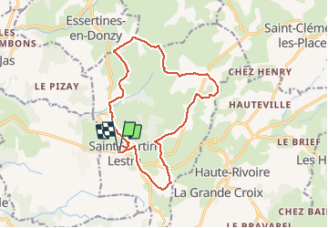
Tour Wandern von 15,2 km verfügbar auf Auvergne-Rhone-Alpen, Loire, Saint-Martin-Lestra. Diese Tour wird von Migrounet42 vorgeschlagen.
La croix de la sauteuse
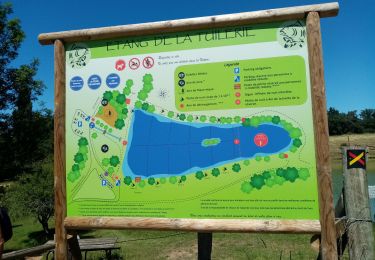
départ place de l'église 15,5 km entre plaine et monts 300m et 600m
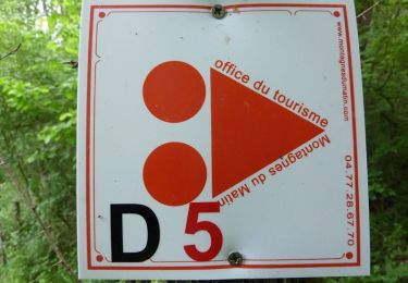
suivre lettre S jaune et blanc
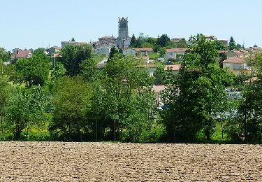
Ce circuit pédestre présente, en plus de différents points de vue sur les monts du lyonnais et les montagnes du matin, une perspective de toute part sur la flèche de l'église qui domine le panorama. au terme de cette rando se trouve la croix de la sauteuse qui fait l'objet d'une légende mystérieuse.
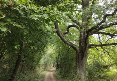
Wandern
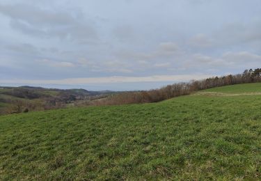
Wandern

Wandern
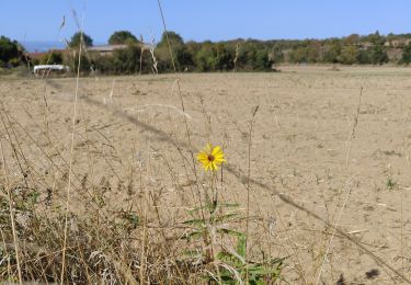
Wandern
Wandern

Zu Fuß
Mountainbike
Mountainbike
Mountainbike