


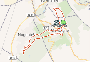

11,1 km | 13,3 km-effort

Benutzer GUIDE


Kostenlosegpshiking-Anwendung
 SityTrail
IGN / Geografische Institute
SityTrail World
Die Welt öffnet sich für Sie
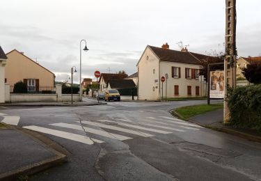
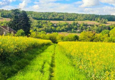
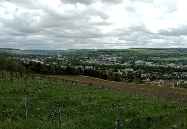
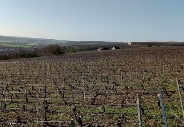
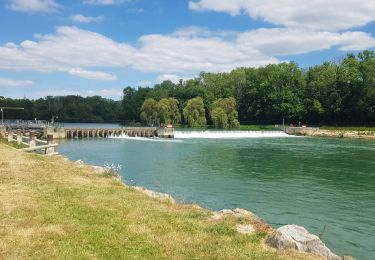
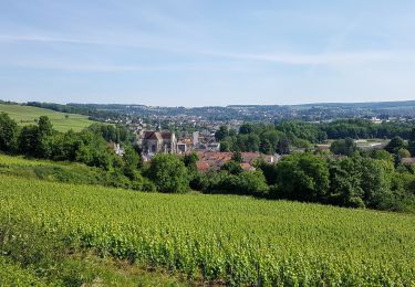
Tour Wandern von 8,6 km verfügbar auf Nordfrankreich, Aisne, Nesles-la-Montagne. Diese Tour wird von VANDERPUTTENMi vorgeschlagen.
Suivre le GR14 depuis Nesles la Montagne jusque l'intersection avec la Dhuys, contourner Nesles par la rue de la Galère et le chemin des Recettes....


Wandern
Wandern
Wandern
Wandern
Wandern
Wandern

Wandern
Mountainbike
Wandern