


25 km | 32 km-effort

Tout seul, on va plus vite. Ensemble, on va plus loin !


Kostenlosegpshiking-Anwendung
 SityTrail
IGN / Geografische Institute
SityTrail World
Die Welt öffnet sich für Sie
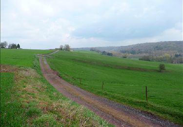
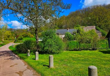
Tour Nordic Walking von 7,2 km verfügbar auf Wallonien, Hennegau, Thuin. Diese Tour wird von Nordic Sambre (énéoSport) vorgeschlagen.
énéoSport -Cercle Nordic Sambre (ESNS)
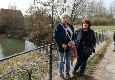
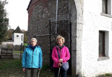
Sortie du groupe des Lapins du 14/11/19
Randonnée préparée et guidée par Jacques Léonet
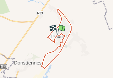
Point de départ/arrivée: Parking de l'église, Thuilies

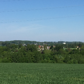
Wandern

Wandern

Wandern
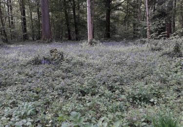
Wandern
Wandern
Wandern

Wandern
Wandern
Wandern