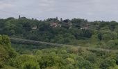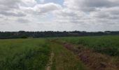

Talmontiers Marolletus

Marie-Claire-mcp
Benutzer

Länge
8,8 km

Maximale Höhe
202 m

Positive Höhendifferenz
183 m

Km-Effort
11,3 km

Min. Höhe
75 m

Negative Höhendifferenz
197 m
Boucle
Nein
Erstellungsdatum :
2020-05-24 13:24:12.471
Letzte Änderung :
2020-05-24 15:46:05.426
2h21
Schwierigkeit : Medium

Kostenlosegpshiking-Anwendung
Über SityTrail
Tour Wandern von 8,8 km verfügbar auf Nordfrankreich, Oise, Talmontiers. Diese Tour wird von Marie-Claire-mcp vorgeschlagen.
Beschreibung
Talmontiers, chemin du Plessis, chemin du facteur, route des Landes, Bois de Marolletus, Chemin de Gournay, route de But David.
Ort
Land:
France
Region :
Nordfrankreich
Abteilung/Provinz :
Oise
Kommune :
Talmontiers
Standort:
Unknown
Gehen Sie:(Dec)
Gehen Sie:(UTM)
408684 ; 5470932 (31U) N.
Kommentare
Touren in der Umgebung

Marche Nordique 72 Sancourt


Nordic Walking
Einfach
(1)
Sancourt,
Normandie,
Eure,
France

10,7 km | 12,1 km-effort
1h 30min
Ja

Marche Nordique 55 - Sancourt


Nordic Walking
Einfach
(1)
Sancourt,
Normandie,
Eure,
France

8,5 km | 9,6 km-effort
Unbekannt
Ja

Marche Nordique 48 - Talmontiers


Wandern
Einfach
(1)
Talmontiers,
Nordfrankreich,
Oise,
France

8,1 km | 10,7 km-effort
2h 17min
Ja

Neufmarché - Bouchevilliers 10


Wandern
Einfach
(1)
Neuf-Marché,
Normandie,
Seine-Maritime,
France

10,4 km | 12,1 km-effort
2h 41min
Ja

Talmontiers - Neufmarché le long de l''Epte


Wandern
Einfach
(1)
Talmontiers,
Nordfrankreich,
Oise,
France

12,3 km | 14,2 km-effort
3h 10min
Ja
Neufmarché à Montroty


Wandern
Medium
Neuf-Marché,
Normandie,
Seine-Maritime,
France

9,4 km | 11,7 km-effort
2h 16min
Ja
Talmontiers, Les landes


Wandern
Schwierig
Talmontiers,
Nordfrankreich,
Oise,
France

9,6 km | 12,5 km-effort
3h 16min
Ja
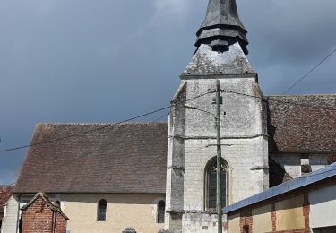
Talmontiers - Amécourt et Guerguesalle


Wandern
Medium
Talmontiers,
Nordfrankreich,
Oise,
France

9,1 km | 11,1 km-effort
2h 34min
Ja
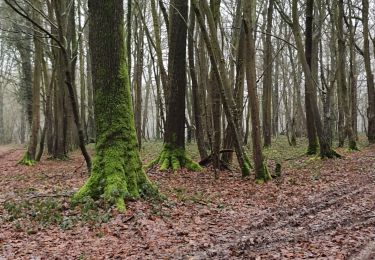
Talmontiers les Landes But David Les Binaux


Wandern
Medium
Talmontiers,
Nordfrankreich,
Oise,
France

11,7 km | 14,4 km-effort
2h 47min
Ja


 SityTrail


