


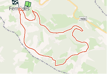


6,8 km | 8,9 km-effort


Benutzer


Kostenlosegpshiking-Anwendung
 SityTrail
IGN / Geografische Institute
SityTrail World
Die Welt öffnet sich für Sie
Tour Wandern von 11,1 km verfügbar auf Wallonien, Lüttich, Ferrières. Diese Tour wird von chrlouette vorgeschlagen.
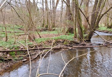
Ancienne ligne du tram vers Burnontige. Retour vers Ferrières derniers kilomètres sur route. Possibilités de prendre chemins de campagne.

Wandern

Wandern
Wandern
Wandern
Wandern

Mountainbike
Wandern
Wandern
Wandern