


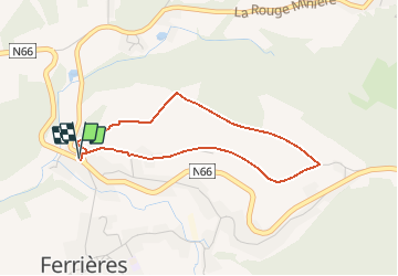


22 km | 28 km-effort


Benutzer


Kostenlosegpshiking-Anwendung
 SityTrail
IGN / Geografische Institute
SityTrail World
Die Welt öffnet sich für Sie
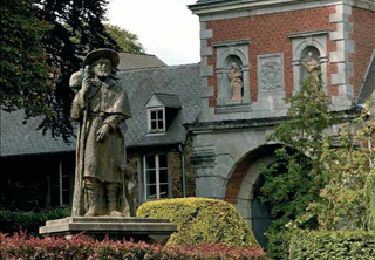
Tour Wandern von 3,2 km verfügbar auf Wallonien, Lüttich, Ferrières. Diese Tour wird von chrlouette vorgeschlagen.
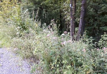
Magnifiques points de vue. Ma promenade préférée. Possibilité de commencer la balade par un chemin quelques 200 m plus loin, plutôt qu'un sentier passant dans un champs où il peut y avoir du bétail.
Wandern

Wandern

Wandern
Wandern

Wandern
Wandern
Wandern

Mountainbike
Wandern