


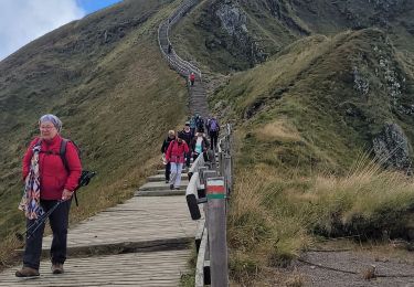
17,7 km | 24 km-effort

Benutzer GUIDE


Kostenlosegpshiking-Anwendung
 SityTrail
IGN / Geografische Institute
SityTrail World
Die Welt öffnet sich für Sie
Tour Wandern von 13,6 km verfügbar auf Auvergne-Rhone-Alpen, Puy-de-Dôme, Mont-Dore. Diese Tour wird von jagarnier vorgeschlagen.
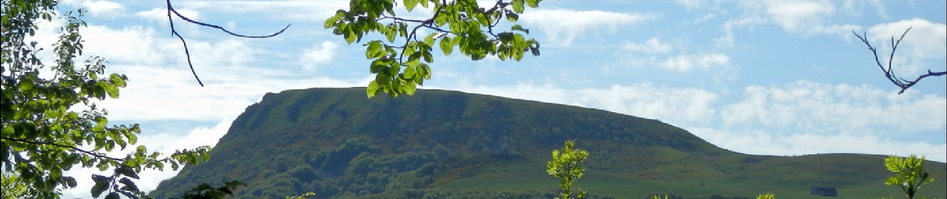
La plus belle vue du département sur la vallée de La Dordogne, la Bourboule et les crêtes du Sancy : vallée, pentes raides, prairies, ruisseaux, burons, coulées de lave, affleurements de ponces... Panoramas sur le puy de Dôme et le massif de l’Angle.


Wandern

Wandern

Wandern

Wandern

Wandern

Wandern

Wandern

Wandern
Wandern