


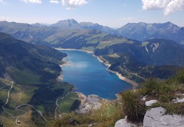
16,7 km | 28 km-effort


Benutzer


Kostenlosegpshiking-Anwendung
 SityTrail
IGN / Geografische Institute
SityTrail World
Die Welt öffnet sich für Sie
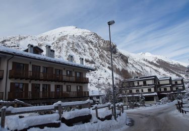
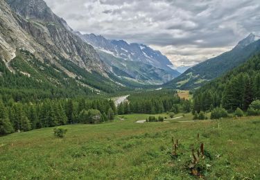
Tour Zu Fuß von 6,9 km verfügbar auf Auvergne-Rhone-Alpen, Savoyen, Bourg-Saint-Maurice. Diese Tour wird von hugo26 vorgeschlagen.
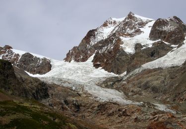
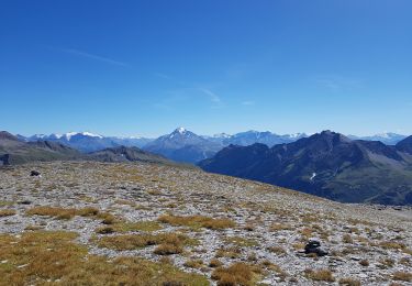
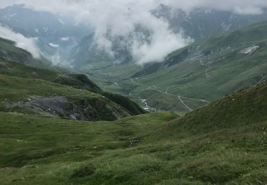
Belle rando en aller retour depuis les chapieux. Du refuge possible col du mont tondu 3196 m .Matériel via ferrata.

Wandern

Skiwanderen
Zu Fuß
Zu Fuß
Wandern
Wandern
Wandern
Wandern