


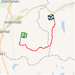

7,6 km | 10,5 km-effort


Benutzer


Kostenlosegpshiking-Anwendung
 SityTrail
IGN / Geografische Institute
SityTrail World
Die Welt öffnet sich für Sie
Tour Andere Aktivitäten von 11,9 km verfügbar auf Uri, Korporation Ursern, Andermatt. Diese Tour wird von sterrettaz vorgeschlagen.
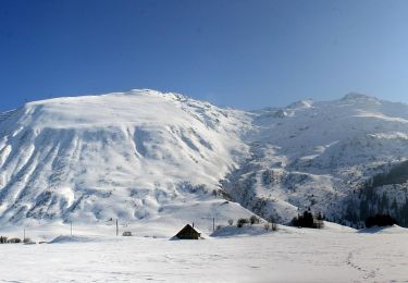
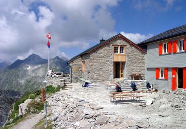
A Andermatt, prendre la cabine du Gemstock, du sommet, descendre en direction de la Vermigelshuette, puis remonter par le Maighels Pass.
Zu Fuß
Zu Fuß
Zu Fuß
Zu Fuß
Zu Fuß
Zu Fuß
Zu Fuß
Zu Fuß
Zu Fuß