


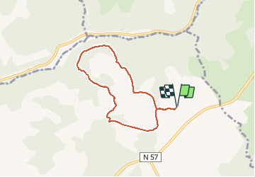

7,9 km | 10,2 km-effort

Benutzer


Kostenlosegpshiking-Anwendung
 SityTrail
IGN / Geografische Institute
SityTrail World
Die Welt öffnet sich für Sie
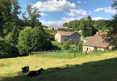
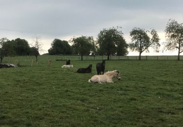
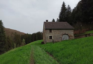
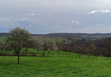
Tour Reiten von 6,1 km verfügbar auf Burgund und Freigrafschaft, Haute-Saône, Fougerolles-Saint-Valbert. Diese Tour wird von Bonetto vorgeschlagen.
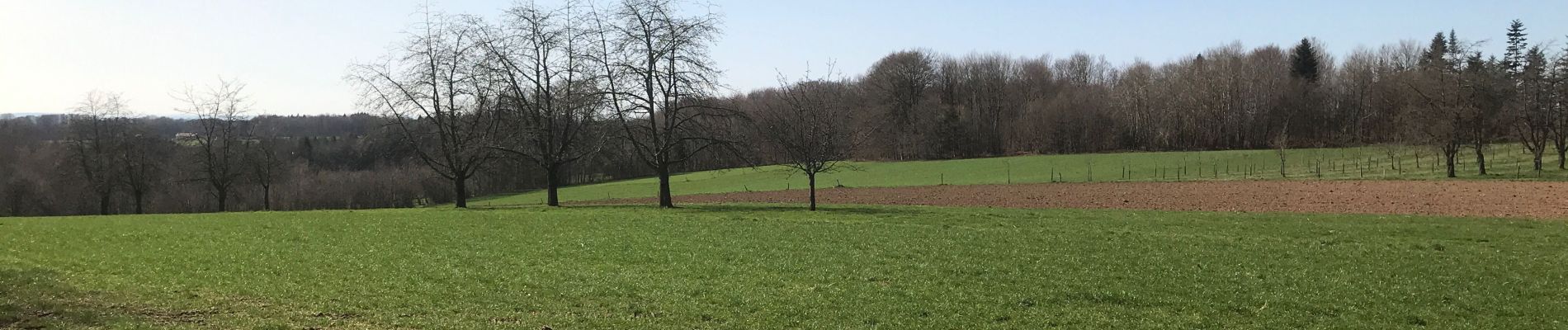
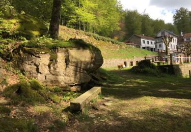
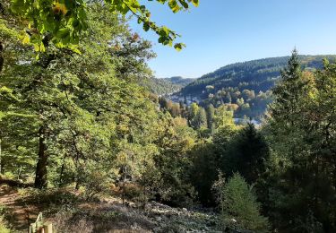
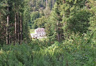
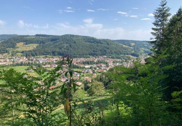
Balade avec difficultés modérées, un peu vallonnée, paysages diversifiés.
Parcours de 6 kms


Wandern
Nordic Walking
Reiten
Wandern

Fahrrad
Wandern
Wandern
Wandern
Wandern