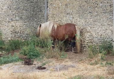
6,1 km | 6,7 km-effort
Vatimesnil - Doux Mesnil
marcel.F
Benutzer
Länge
9,1 km
Maximale Höhe
112 m
Positive Höhendifferenz
73 m
Km-Effort
10,1 km
Min. Höhe
76 m
Negative Höhendifferenz
73 m
Boucle
Ja
Erstellungsdatum :
2019-04-01 20:25:44.482
Letzte Änderung :
2019-04-14 16:40:08.683
2h14
Schwierigkeit : Einfach
Kostenlosegpshiking-Anwendung
Über SityTrail
Tour Wandern von 9,1 km verfügbar auf Normandie, Eure, Sainte-Marie-de-Vatimesnil. Diese Tour wird von marcel.F vorgeschlagen.
Beschreibung
boucle au départ parking face à la mairie de Vatimesnil
Ort
Land:
France
Region :
Normandie
Abteilung/Provinz :
Eure
Kommune :
Sainte-Marie-de-Vatimesnil
Standort:
Unknown
Gehen Sie:(Dec)
Gehen Sie:(UTM)
396980 ; 5459166 (31U) N.
Kommentare
Touren in der Umgebung
Etrepagny - Marche nordique confinement
Nordic Walking
Sehr leicht
(1)
Étrépagny,
Normandie,
Eure,
France
50min
Ja
Marche Nordique 79 Etrepagny
Nordic Walking
Einfach
(2)
Étrépagny,
Normandie,
Eure,
France
9,7 km | 11 km-effort
1h 30min
Ja
Vesly - Authevernes
Wandern
Einfach
(1)
Vesly,
Normandie,
Eure,
France
8,9 km | 10,5 km-effort
2h 11min
Ja
VESLY Guerny+ND du Chêne
Wandern
Einfach
(1)
Vesly,
Normandie,
Eure,
France
9,9 km | 12,4 km-effort
2h 41min
Ja
Etrépagny, La Broche, Le Mesnil Guilbert
Wandern
Schwierig
Étrépagny,
Normandie,
Eure,
France
11 km | 12 km-effort
2h 22min
Ja
Vesly - Guerny - Authevernes
Wandern
Sehr leicht
Vesly,
Normandie,
Eure,
France
9,8 km | 11,4 km-effort
2h 55min
Nein
vesly Guerny par le chêne
Wandern
Sehr leicht
Vesly,
Normandie,
Eure,
France
8,3 km | 10,7 km-effort
2h 48min
Ja
De la Mairie d'Etrépagny à la Mairie de Gisors
Wandern
Schwierig
Étrépagny,
Normandie,
Eure,
France
15,8 km | 17,1 km-effort
3h 53min
Nein
Villers en Vexin à Cantiers
Wandern
Medium
Villers-en-Vexin,
Normandie,
Eure,
France
9,1 km | 10 km-effort
2h 16min
Ja
Bonne Petite randonnée, facile et agréable.