


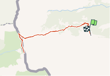


9,6 km | 17,9 km-effort


Benutzer


Kostenlosegpshiking-Anwendung
 SityTrail
IGN / Geografische Institute
SityTrail World
Die Welt öffnet sich für Sie
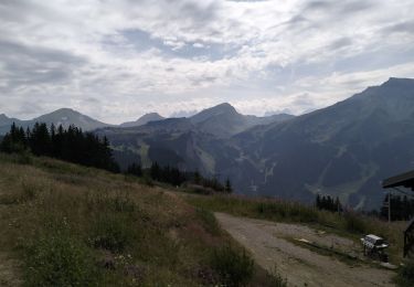
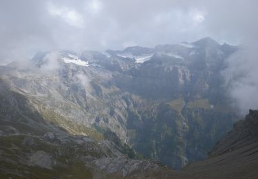
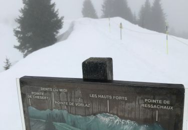
Tour Wandern von 10,1 km verfügbar auf Wallis, Monthey, Champéry. Diese Tour wird von otchampery vorgeschlagen.
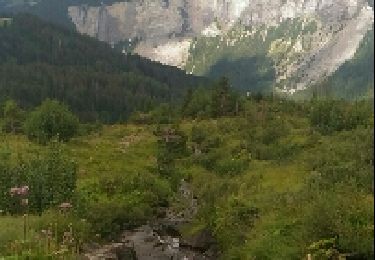
Le sentier à tire d''ailes, lässt sie die Vogelwelt entdecken. Er führt sie zu einem der wichtigsten Observatorien in den Alpen. Von August bis Oktober fliegen hier tausende von zug- und Greifvögeln über den Pass in den Süden.

Wandern

Zu Fuß

Wandern

Wandern
Wandern
Zu Fuß
Schneeschuhwandern
Wandern
Wandern