


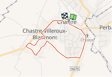


8,4 km | 10,1 km-effort


Benutzer


Kostenlosegpshiking-Anwendung
 SityTrail
IGN / Geografische Institute
SityTrail World
Die Welt öffnet sich für Sie
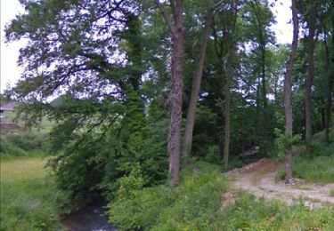
Tour Wandern von 3,6 km verfügbar auf Wallonien, Wallonisch-Brabant, Chastre. Diese Tour wird von Chastre1450 vorgeschlagen.
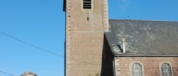
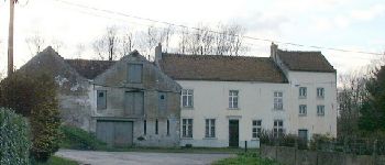
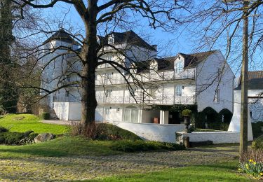
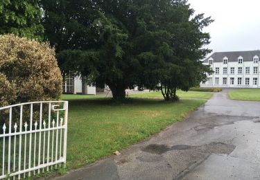
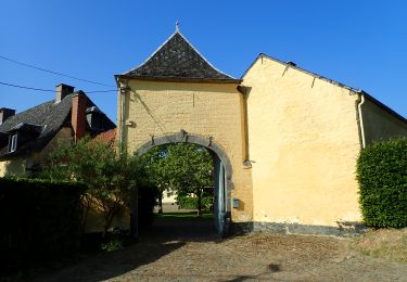
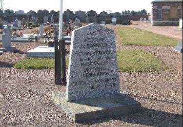
Accessible aux personnes à mobilité réduite, cette promenade est axée sur le passé architectural, industriel et religieux de l'ancienne "castra"


Wandern
Wandern
Wandern
Zu Fuß

Wandern
Wandern
Wandern
Wandern
Wandern